
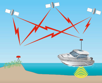


Survey Control Locations
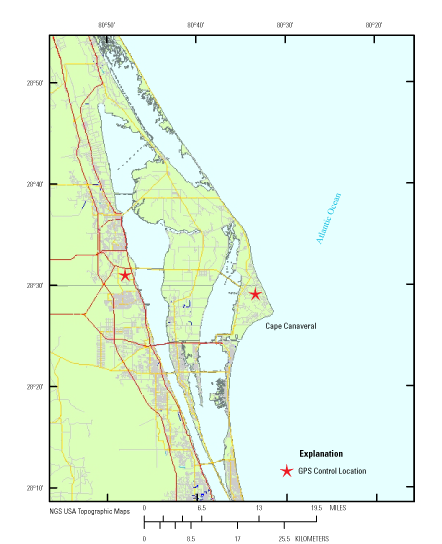
Figure 2. GPS control locations used for the Cape Canaveral, Florida survey. Click on  for survey coordinates. for survey coordinates.
|
Data Series 957
|
|

![]() U.S. Department of the Interior |
U.S. Geological Survey
U.S. Department of the Interior |
U.S. Geological Survey
URL: http://pubsdata.usgs.gov/pubs/ds/0957/ds957-Canaveral_control-map.html
Page Contact Information: GS Pubs Web Contact
Page Last Modified: Monday, 28-Nov-2016 20:43:55 EST