Data Series 995
Click on a segment name to view the contact sheet.

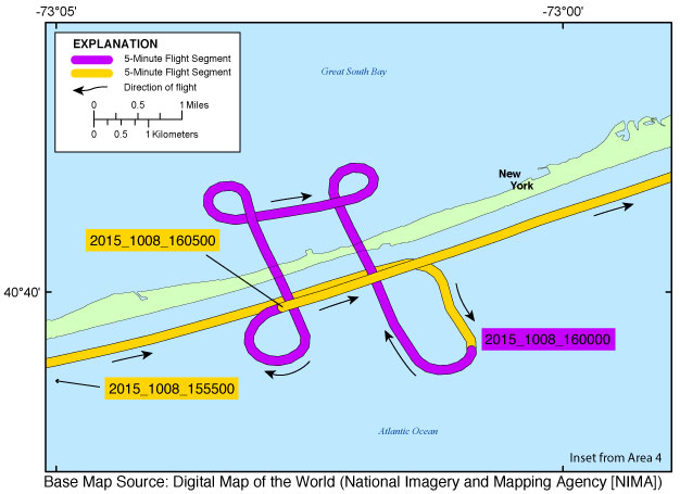
| Figure 6. Mid-Fire Island inset map (Area 4). Map showing the flight path of the post-Hurricane Joaquin coastal oblique aerial survey of from Cherry Grove, New York, to Davis Park, New York, on October 8, 2015. Purple and yellow lines correspond to 5-minute flight segments that link to contact sheets of associated photograph thumbnails. Click on the 5-minute segment name to view each contact sheet. |