USGS - science for a changing world

Data Series 1031

Archive of Bathymetry Data Collected in South Florida From 1995 to 2015

Skip Links

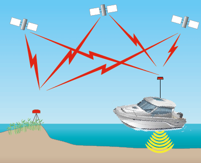
GPS Control Locations - North and Northwest Forks of the Loxahatchee and Lower St. Lucie Rivers (2003)


Figure 28. GPS control locations used for the Loxahatchee and St. Lucie Rivers, Florida, survey. Click on for survey control coordinates.


(back to top)

Accessibility FOIA Privacy Policies and Notices

Take Pride in America logo USA.gov logo U.S. Department of the Interior | U.S. Geological Survey
URL: http://pubsdata.usgs.gov/pubs/ds/1031/ds1031_loxa_control_map.html
Page Contact Information: GS Pubs Web Contact
Page Last Modified: Monday, 24-Jul-2017 11:39:44 EDT