Data Series 1081
1U.S. Geological Survey
2Cherokee Nation Technologies
| Abstract
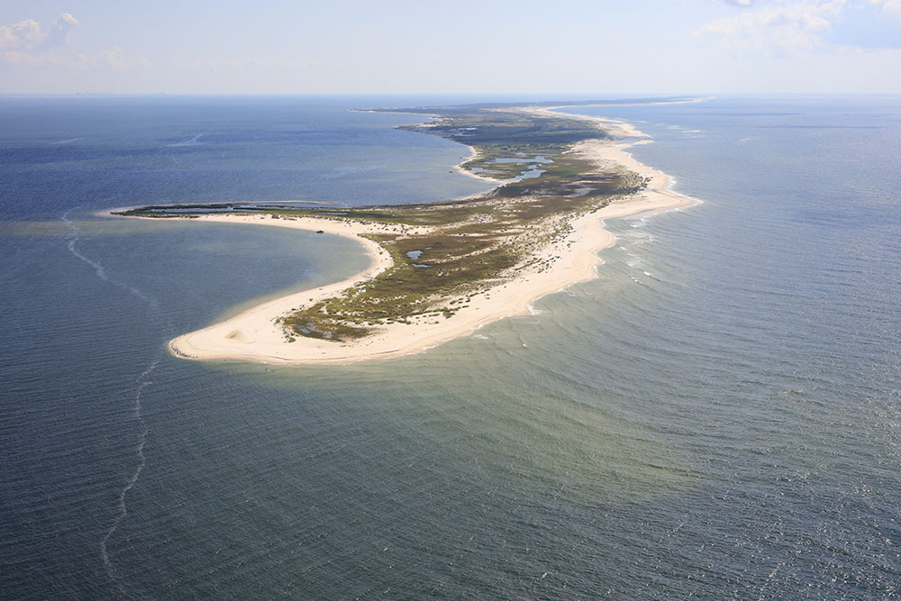
The U.S. Geological Survey (USGS) St. Petersburg Coastal and Marine Science Center, in cooperation with the U.S. Army Corps of Engineers, Mobile District, conducted bathymetric surveys of the nearshore waters surrounding Ship and Horn Islands, Gulf Islands National Seashore, Mississippi. The objective of this study was to establish base-level elevation conditions around West Ship, East Ship, and Horn Islands and their associated active littoral system prior to restoration activities. These activities include the closure of Camille Cut and the placement of sediment in the littoral zone of East Ship Island. These surveys can be compared with future surveys to monitor sediment migration patterns post-restoration and can also be measured against historic bathymetric datasets to further our understanding of island evolution. The USGS collected 667 line-kilometers (km) of single-beam bathymetry data and 844 line-km of interferometric swath bathymetry data in July 2016 under Field Activity Number 2016-347-FA. Data are provided in three datums: (1) the International Terrestrial Reference Frame of 2000 (ellipsoid height); (2) the North American Datum of 1983 (NAD83) CORS96 realization and the North American Vertical Datum of 1988 with respect to the GEOID12B model (orthometric height); and (3) NAD83 (CORS96) and Mean Lower Low Water (tidal datum). Data products, including x,y,z point datasets, trackline shapefiles, digital and handwritten Field Activity Collection Systems logs, 50-meter digital elevation model, and formal Federal Geographic Data Committee metadata, are available for download. AcknowledgmentsAuthor contributions are as follows:
The authors would like to thank the following:
Information StatementThis publication was prepared by an agency of the U.S. Government. Although these data were processed successfully on a computer system at the U.S. Geological Survey, no warranty expressed or implied is made regarding the display or utility of the data on any other system, or for general or scientific purposes, nor shall the act of distribution imply any such warranty. The U.S. Geological Survey shall not be held liable for improper or incorrect use of the data described and (or) contained herein. Reference herein to any specific commercial product, process, or service by trade name, trademark, manufacturer, or otherwise does not constitute or imply its endorsement, recommendation, or favoring by the U.S. Government or any agency thereof. Suggested CitationDeWitt, N.T., Stalk, C.A., Fredericks, J.J., Flocks, J.G., Kelso, K.W., Farmer, A.S., Tuten, T.M., and Buster, N.A., 2018, Nearshore coastal bathymetry data collected in 2016 from West Ship Island to Horn Island, Gulf Islands National Seashore, Mississippi: U.S. Geological Survey Data Series 1081, https://doi.org/10.3133/ds1081. ContactNancy T. DeWitt |

![]() U.S. Department of the Interior |
U.S. Geological Survey
U.S. Department of the Interior |
U.S. Geological Survey
URL: http://pubsdata.usgs.gov/pubs/ds/1081/index.html
Page Contact Information: GS Pubs Web Contact
Page Last Modified: Thursday, 12-Apr-2018 14:01:02 EDT