Data Series 1100
| Abstract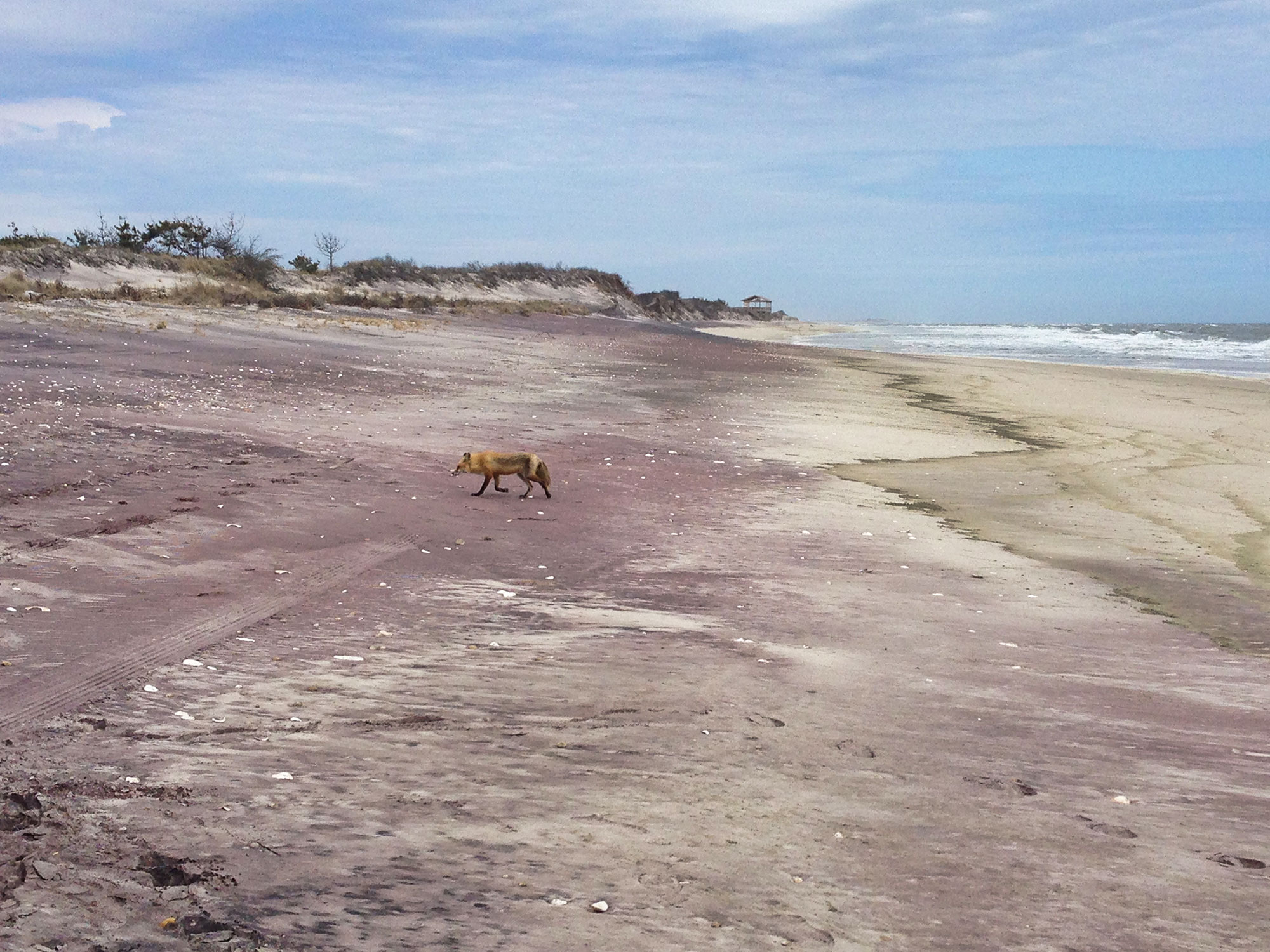 Photograph looking approximately east along Fire Island, New York. Photograph by Jennifer Miselis (U.S. Geological Survey). Researchers from the U.S. Geological Survey (USGS) conducted a long-term coastal morphologic-change study at Fire Island, New York, prior to and after Hurricane Sandy impacted the area in October 2012. The Fire Island Coastal Change project objectives include understanding the morphologic evolution of the barrier island system on a variety of time scales (months to centuries) and resolving storm-related effects, post-storm beach response, and recovery. In April 2016, scientists from the USGS St. Petersburg Coastal and Marine Science Center conducted sediment sampling and geophysical surveys on Fire Island to characterize and quantify spatial variability in the subaerial geology with the goal of subsequently integrating onshore geology with other surf zone and nearshore datasets. This report, along with the accompanying USGS data release, serves as an archive of sediment data from 14 vibracores collected on April 10 and 11, 2016 (USGS Field Activity Number 2016–322–FA), along 6 transects that extend from the upper to lower subaerial shoreface at Fire Island. Sedimentologic and stratigraphic metrics (for example, sediment texture or unit thicknesses) derived from these data can be used to assess spatial and temporal trends and may aid in understanding beach evolution. Data products include sample location tables, descriptive core logs, core photographs, results of sediment grain-size analyses, and geographic information system data files with accompanying formal Federal Geographic Data Committee metadata. NOTE: Any use of trade names is for descriptive purposes only and does not imply endorsement by the U.S. Government. AcknowledgmentsThe U.S. Geological Survey Coastal and Marine Geology Program’s USGS Fire Island Hurricane Sandy Supplemental Project was funded under the Disaster Relief Appropriations Act of 2013, using the U.S. Department of the Interior Hurricane Sandy supplemental funding. The authors thank Michael Bilecki and Jordan Raphael at the Fire Island National Seashore for logistical support during field work. The authors also thank Betsy Boynton (Cherokee Nation Technologies), who assisted with the report web design and Karen L. M. Morgan, Alisha Ellis, and Arnell Forde for conducting scientific, editorial, and metadata reviews that improved the content and presentation of this report. Suggested CitationBuster, N.A., Bernier, J.C., Brenner, O.T., Kelso, K.W., Tuten, T.M., and Miselis, J.L., 2018, Sediment data from vibracores collected in 2016 from Fire Island, New York: U.S. Geological Survey Data Series 1100, https://doi.org/10.3133/ds1100. ContactNoreen BusterU.S. Geological Survey St. Petersburg Coastal and Marine Science Center 600 4th Street South St. Petersburg, FL 33701 (727) 502-8000 nbuster@usgs.gov |

![]() U.S. Department of the Interior |
U.S. Geological Survey
U.S. Department of the Interior |
U.S. Geological Survey
URL: http://pubsdata.usgs.gov/pubs/ds/1100/index.html
Page Contact Information: GS Pubs Web Contact
Page Last Modified: Tuesday, 18-Dec-2018 09:11:47 EST
