| |
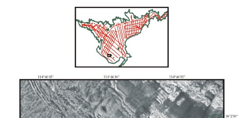
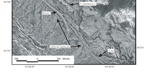
Surficial Geology and Distribution of Post-Impoundment Sediment of the Western Part of Lake Mead Based on a Sidescan Sonar and High-Resolution Seismic-Reflection SurveyFigure 14. Sidescan sonar image of part of an alluvial fan surface in the western part of Boulder Basin (location shown in inset). The preservation of a road (about 15-m wide), trail and possibly foundations indicates that little reworking has taken place on this part of the lake floor since the area was flooded. Note also that the alluvial deposits are truncated by the road (end of arrows) which indicated that they have not been active since the lake was filled. | ||||||||||||
|
||||||||||||
| ||||||||||||
| ||||||||||||
|
||||||||||||