U. S. Geological Survey Open-File Report 01-154
|
|
|
U. S. Geological Survey Open-File Report 01-154 |
SEA-FLOOR PHOTOGRAPHY FROM THE CONTINENTAL MARGIN PROGRAM:A Pictorial Survey of Benthic Character and Habitats
|
|
Photographic Gallery of personnel, facilities and equipment from the Continental Margin Program |
|
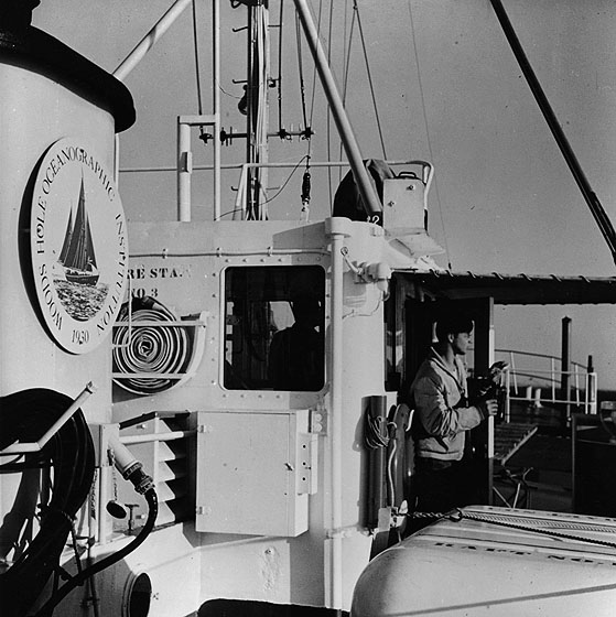
As the 99-foot Research Vessel GOSNOLD hovers near the edge of the Continental Shelf - 90 miles south of Nantucket - Seaman Earl "Skip" Moody prepares to identify a passing ship with binoculars from his vantage point on the bridge. Extensive use of the GOSNOLD has been made by the team of WHOI - USGS scientists, who are currently investigating the geology of the Atlantic Continental Shelf and Slope. The GOSNOLD is owned and operated by the Woods Hole Oceanographic Institution. |