Open–File Report 02–327
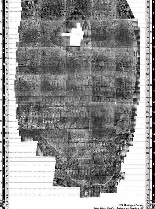
A larger version (11" x 17") of the flight lines image is downloadable in *PDF format. The image contains flight line and frame number references.
*(PDF files are viewed using the free downloadable Adobe Acrobat Reader.)To download the latest version of Acrobat Reader, visit the Adobe website: ![]()
Flight line shapefiles for Collier county and the 1940 mosaic are located in the following zip files: 40collflightl.zip and 40mosflightl.zip.
XY coordinates are provided in detail by viewing the sn01_1940xy.shp file located (after unzipping) the sn01_1940xy.zip.

![]() U.S. Department of the Interior |
U.S. Geological Survey
U.S. Department of the Interior |
U.S. Geological Survey
URL: http://pubsdata.usgs.gov/pubs/of/2002/0327/fltlines.html
Page Contact Information: GS Pubs Web Contact
Page Last Modified: Wednesday, 08-Jun-2022 16:10:48 EDT
