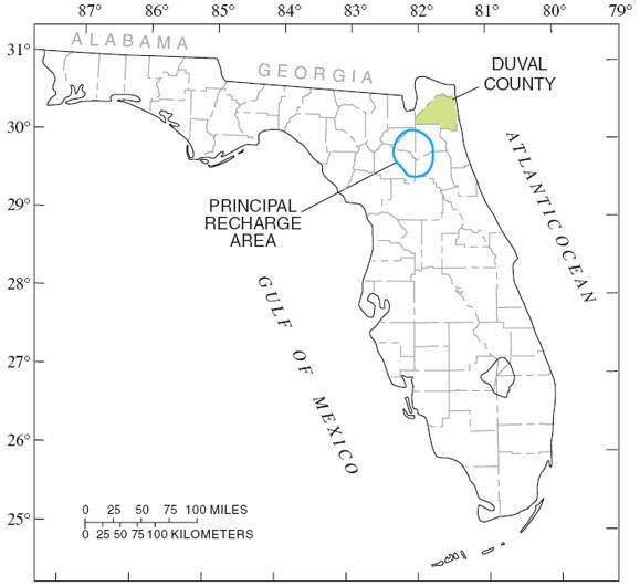
The Floridan aquifer system is the principal source of water supply in northeastern Florida. Increasing demands for water from the Floridan aquifer system in Duval County
have resulted in a need to evaluate changes in water levels and chloride concentrations. Rapid population growth in Duval County is creating an increasing demand for freshwater. In 1960, the population of Duval County was about 455,000 (Brown and others, 1986), and in 2000 it was estimated to be about 779,000. As population continues to increase, additional water supplies will be needed. Increases in pumpage to meet these demands will lower the potentiometric surface and increase the potential for the upward movement of saline water from deeper zones of the aquifer system (Spechler, 1994; and Phelps and Spechler, 1997). The increased demand for water from the Floridan aquifer system requires that this valuable resource be adequately managed. Information on the trends in the potentiometric surface and chloride concentrations in the Floridan aquifer system is necessary for proper planning and management.
This map report, prepared in cooperation with the City of Jacksonville, depicts the altitude of the potentiometric surface of the Upper Floridan aquifer in Duval County, and shows trends in the potentiometric surface and in chloride concentrations in the Floridan aquifer system at selected locations. The information presented in this report includes: (1) graphs showing water use for Duval and adjacent counties from 1965 to 1999; (2) maps showing the altitude of the potentiometric surface of the Upper Floridan aquifer in Duval County for January-February 1960, September 1998, and May 1999; (3) a map showing changes in the potentiometric surface of the Upper Floridan aquifer from January-February 1960 to May 1999; (4) hydrographs showing long-term water levels of selected wells in Duval County; and (5) graphs showing chloride concentrations in water at selected wells in Duval County.