Skip past header information
Identifier symbol and link to USGS Home page
The Gulf of the Farallones: Sidescan-Sonar Imagery, USGS Open-File Report 2004-1082

Skip past contents
Home Page / Mosaic & Explanation / GIS Data / Contacts / About this Disk

Area of sidescan-sonarvmosaic north of the Farallon Islands consisting of fine, medium and coarse sands. Area of sidescan-sonarvmosaic north of the Farallon Islands consisting of fine, medium and coarse sands. Area of sidescan-sonarvmosaic north of the Farallon Islands consisting of fine, medium and coarse sands.

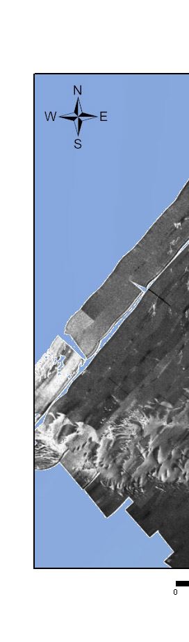
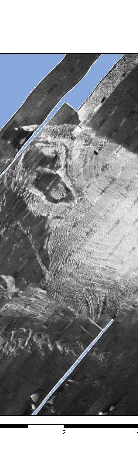
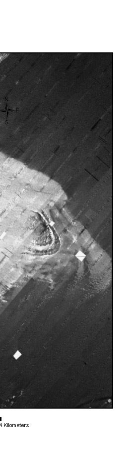
Figure 5c. Area of sidescan-sonar mosaic north of the Farallon Islands consisting of fine, medium and coarse sands.


Back to Sidescan-Sonar Mosaic

[an error occurred while processing this directive]