Skip past header information
Identifier symbol and link to USGS Home page
The Gulf of the Farallones: Sidescan-Sonar Imagery, USGS Open-File Report 2004-1082
Skip past footer information
Home Page / Mosaic & Explanation / GIS Data / Contacts / About this Disk

Data
Sidescan-Sonar

Move mouse pointer over image and click 
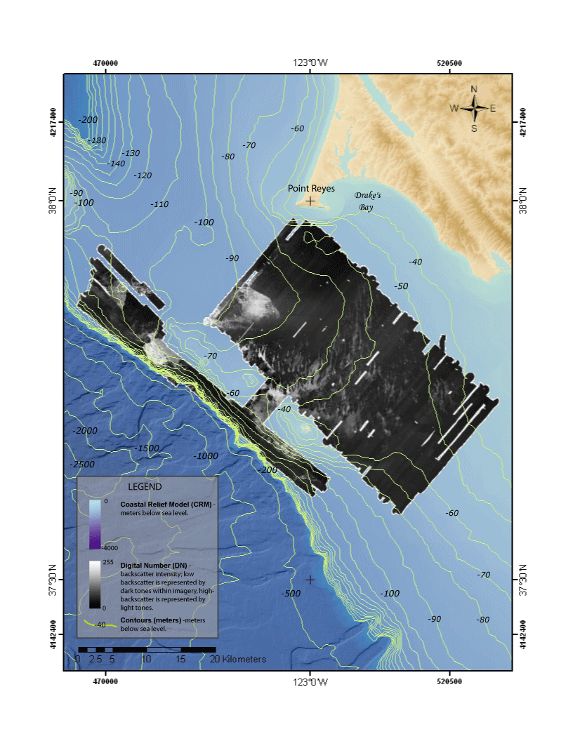
within rectangles to view outlined areas in greater detail.
Click within the rectangle outlines to view detailed sidescan-sonar mosaic region
Figure 5. Map showing sidescan-sonar mosaic of the Gulf of the Farallones.

Back to Sidescan-Sonar Mosaic

[an error occurred while processing this directive]
Figure 5c. Figure 5a. Figure 5b. Figure 5f. Figure 5e. Figure 5d.