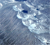
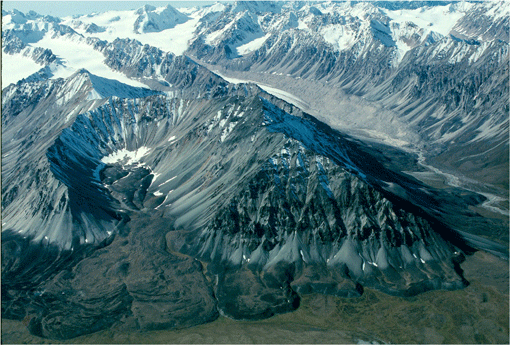
Small tarns in ice-free cirques in the Coast Mountains,
north-east of Juneau, Alaska. |
Tarn
A lake that develops in the basin of a cirque, generally
after the melting of the glacier.
|
|
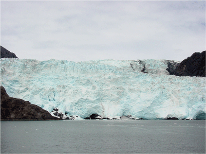
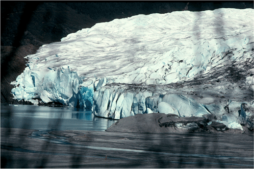
The retreating tide water terminus of South Sawyer
glacier, Coast Mountains, Alaska. |
Terminus
The lower-most margin, end, or extremity of a glacier. Also
called Toe, End or Snout.
|
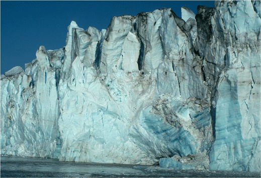
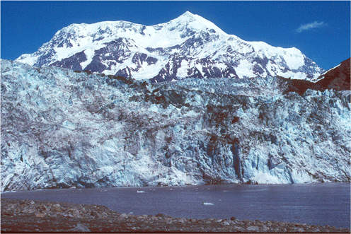
Vertical face of the tidewater calving terminus
of Lamplugh Glacier, Glacier Bay National Park,
AK. The height of the face is more than 100 feet,
or ~30 meters. |
|
Tidell Glacier's iceberg-calving terminus in front
of Mt. St. Elias, Icy Bay, Wrangell-St. Elias National Park,
Alaska. The elevation difference between the glacier
and the mountain is 18,008 ft. |
|
The retreating terminus of Mendenhall Glacier, Juneau
Ice Field, Tongass National Forest, Alaska. The grey sediment ridge
in the right center of the photo is a recessional
moraine. |
|
|
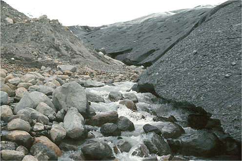
The massive sediment in the background is a poorly-sorted
till, deposited at the base of the now-thinning
and retreating casement glacier. The boulders in
the foreground are a lag deposit resulting from
the removal of the finer grain-sizes in the
till by the ice-marginal stream. Glacier Bay National
Park, Alaska. |
Till
An unsorted and unstratified accumulation of glacial sediment,
deposited directly by glacier ice. Till is a heterogeneous
mixture of different sized material deposited by moving ice
(lodgement till) or by the melting in-place of stagnant ice
(ablation till). After deposition, some tills are reworked
by water.
|

The surface of the ground in this area adjacent
to Sherman glacier is covered with a coarse glacial
till. Chugach Mountains, Chugach National Forest, Alaska. |
|
|
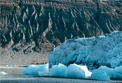
The top of the uniform band of grey-brown sediment
on the wall of the valley is the trim line, marking
the past thickness of Tana Glacier, Wrangell-St.
Elias National Park, Alaska. |
Trimline
A clear boundary line on the wall of a glacier valley that
delineates the maximum recent thickness of a glacier. It may
be a change in the color of the bedrock, indicating the separation
of weathered from unweathered bedrock; the limit of a former
lateral moraine or other sediment deposit; or the boundary
between vegetated and bare bedrock.
|
The top of the eroding sediment of the south wall
of Reed Inlet is the trim line, indicating a recent
maximum thickness of Reed Glacier in Glacier Bay National
Park, Alaska. |
|
|
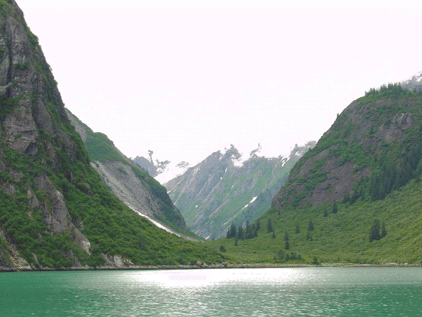
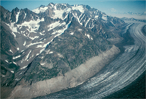
Northeast-looking photograph of a symmetrical, unnamed
U-shaped valley cut into the crystalline rocks of
the Coast Mountains, Tracy Arn, Tracy Arm-Ford's
Terror Wilderness, Tongass National Forest, AK.
The valley walls are >2,000 ft. high and the
valley is ~1/4 mile wide. |
U-Shaped Valley
A valley with a parabolic or "U" shaped cross-section, steep
walls and generally a broad and flat floor. Formed by glacier
erosion,
a U-shaped valley results when a glacier widens and over-steepens
a V-shaped stream valley.
|
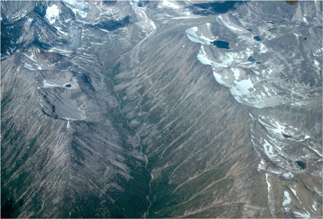
A large ice-free u-shaped valley on the north end of the Juneau
Ice Field, near Juneau Alaksa |
|
The u-shaped valley to the right side of the photo
is the ice-free valley of Talkeetna Glacier, Talkeetna
Mountains, Alaska. Note the rock glaciers in the
foreground. |
|
|
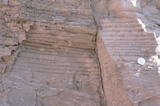
Photograph of an outcrop containing a thick section
of Pleistocene age varves, Scarboro Cliffs, Toronto,
Ontario, Canada. The largest of the varve couplets
are more than .5 inches thick. |
Varve
A varve is a pair of sedimentary layers, a couplet, that form in an annual
cycle as the result of seasonal weather changes. Typically
formed in glacial lakes a varve couplet consists of
a coarser grained summer layer formed during open-water
conditions, and a finer grained winter layer formed
from deposition from suspension during a period of winter
ice cover. Many varve deposits contain hundreds of couplets.
|
|
|