
Open-File Report 2005-1293
Title Page / Table of Contents / List of Figures / Introduction / Maps / Data Collection/Processing / Interpretation / Acknowledgments / Appendix 1 / Appendix 2 / Appendix 3 / Appendix 4
 |
 |
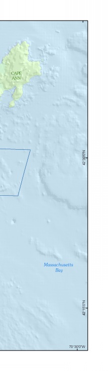 |
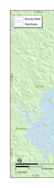
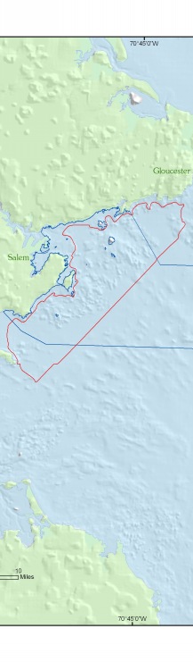
Figure 1. Map showing the location of the survey area (outlined in red) offshore of northeastern Massachusetts between Nahant and Gloucester, including part of the South Essex Ocean Sanctuary (blue line). | ||


![]() U.S. Department of the Interior |
U.S. Geological Survey
U.S. Department of the Interior |
U.S. Geological Survey
URL: http://pubsdata.usgs.gov/pubs/of/2005/1293/html/imagepages/fig1_1.html
Page Contact Information: GS Pubs Web Contact
Page Last Modified: Friday, 03-May-2024 14:34:23 EDT

