U.S. Geological Survey Open-File Report 2009-1137
Quaternary Geologic Framework of the St. Clair River between Michigan and Ontario, Canada
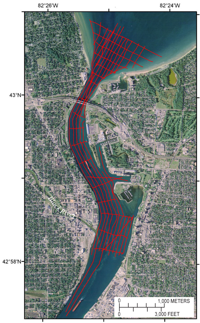
Figure 7. Map showing tracklines (red) where Boomer sub-bottom data were collected in the northernmost St. Clair River area. Tracklines are shown in red. (2005 orthophoto base from Michigan State University, Remote Sensing & GIS Research and Outreach Services, USDA-FSA Aerial Photography Field Office.) |
 |

![]() U.S. Department of the Interior |
U.S. Geological Survey
U.S. Department of the Interior |
U.S. Geological Survey
URL: https://pubsdata.usgs.gov/pubs/of/2009/1137/html/figure7.html
Page Contact Information: Contact USGS
Page Last Modified: Wednesday, 07-Dec-2016 21:58:30 EST
