U.S. Geological Survey Open-File Report 2009-1150
Surficial Geology of the Floor of Lake Mead (Arizona and Nevada) as Defined by Sidescan-Sonar Imagery, Lake-Floor Topography, and Post-Impoundment Sediment Thickness
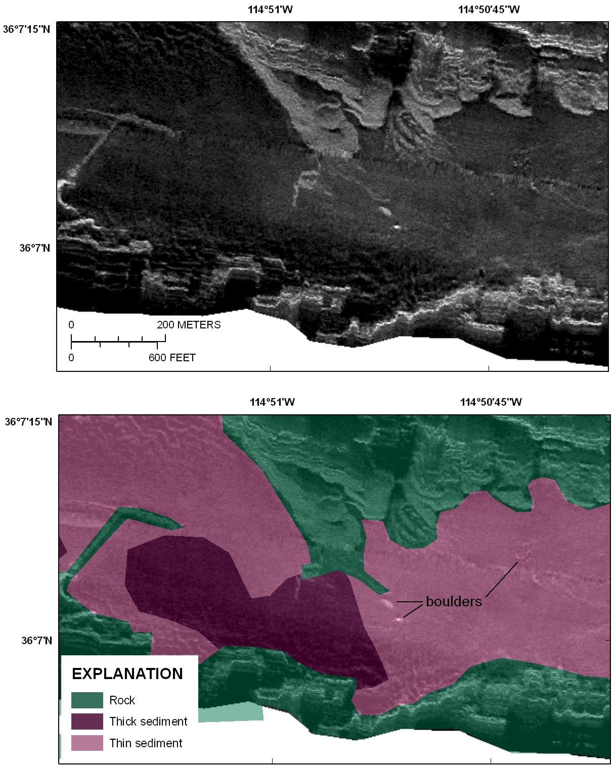 |
| Figure 10. Sidescan-sonar image (top panel) and interpretation (bottom panel) showing boulders in an area of thin post-impoundment sediment cover in Las Vegas Bay. See figure 1 for the location of this figure. Click on figure for larger image. |

![]() U.S. Department of the Interior |
U.S. Geological Survey
U.S. Department of the Interior |
U.S. Geological Survey
URL: https://pubsdata.usgs.gov/pubs/of/2009/1150/html/figurepages/fig10.html
Page Contact Information: Contact USGS
Page Last Modified: Wednesday, 07-Dec-2016 22:18:37 EST
