U.S. Geological Survey Open-File Report 2009-1150
Surficial Geology of the Floor of Lake Mead (Arizona and Nevada) as Defined by Sidescan-Sonar Imagery, Lake-Floor Topography, and Post-Impoundment Sediment Thickness
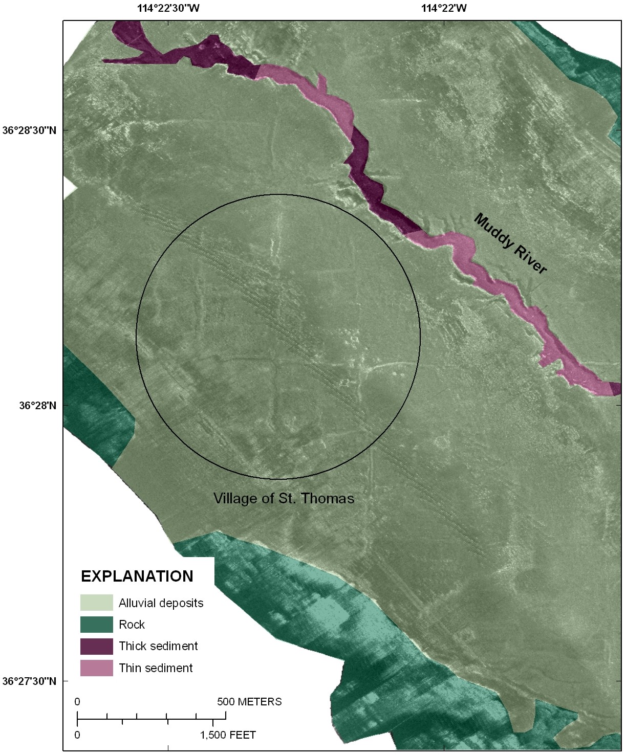 |
| Figure 12. Sidescan-sonar image showing roads from the village of St. Thomas preserved on the lake floor when this survey was completed in 2001. The preservation of these features indicates little post-impoundment sediment has covered this area. Figure is located at the northern end of Overton Arm and is shown on figure 1. Click on figure for larger image. |

![]() U.S. Department of the Interior |
U.S. Geological Survey
U.S. Department of the Interior |
U.S. Geological Survey
URL: https://pubsdata.usgs.gov/pubs/of/2009/1150/html/figurepages/fig12.html
Page Contact Information: Contact USGS
Page Last Modified: Wednesday, 07-Dec-2016 22:18:38 EST
