U.S. Geological Survey Open-File Report 2009-1151
Continuous Resistivity Profiling and Seismic-Reflection Data Collected in 2006 from the Potomac River Estuary, Virginia and Maryland
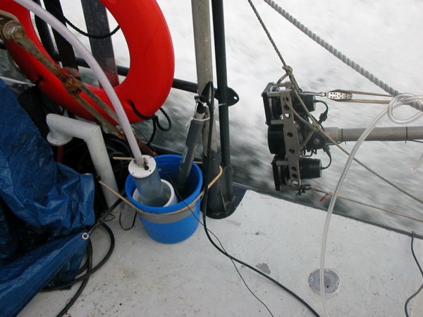 |
| Figure 5. Seismic source and receiver attached to the port side of the survey vessel and pivoted out of the water during transit. The instrument shown on the right side of the blue bucket on the deck was used to measure the conductivity and temperature of surface water, which was pumped continuously into the bucket during surveying. Photo by John Bratton, USGS-GD-WHCMSC. |


