Skip past header information
USGS - science for a changing world

U.S. Geological Survey Open-File Report 2011-1184

High-Resolution Geophysical Data From the Sea Floor Surrounding the Western Elizabeth Islands, Massachusetts


Skip past navigation menu to main textTitle Page / Contents / List of Figures / Conversion Factors and Datum / Abstract / Introduction / Data Collection and Processing / Acknowledgments / References Cited / Appendix


Image of the sun-illuminated interpolated bathymetric grid as stored within ArcMap™ 9.3 map document.

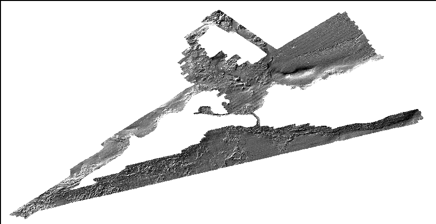
ei_2hm_fillhs: Image of the sun-illuminated interpolated bathymetric grid as stored within ArcMap™ 9.3. Skip USGS links group


Accessibility FOIA Privacy Policies and Notices

Take Pride in America logo USAGov logo U.S. Department of the Interior | U.S. Geological Survey
End of USGS links group