Skip past header information
USGS - science for a changing world

U.S. Geological Survey Open-File Report 2011-1184

High-Resolution Geophysical Data From the Sea Floor Surrounding the Western Elizabeth Islands, Massachusetts


Skip past navigation menu to main textTitle Page / Contents / List of Figures / Conversion Factors and Datum / Abstract / Introduction / Data Collection and Processing / Acknowledgments / References Cited / Appendix


Figure 4 is a photograph of the R/V Rafael of Woods Hole, MA take by Dave Foster

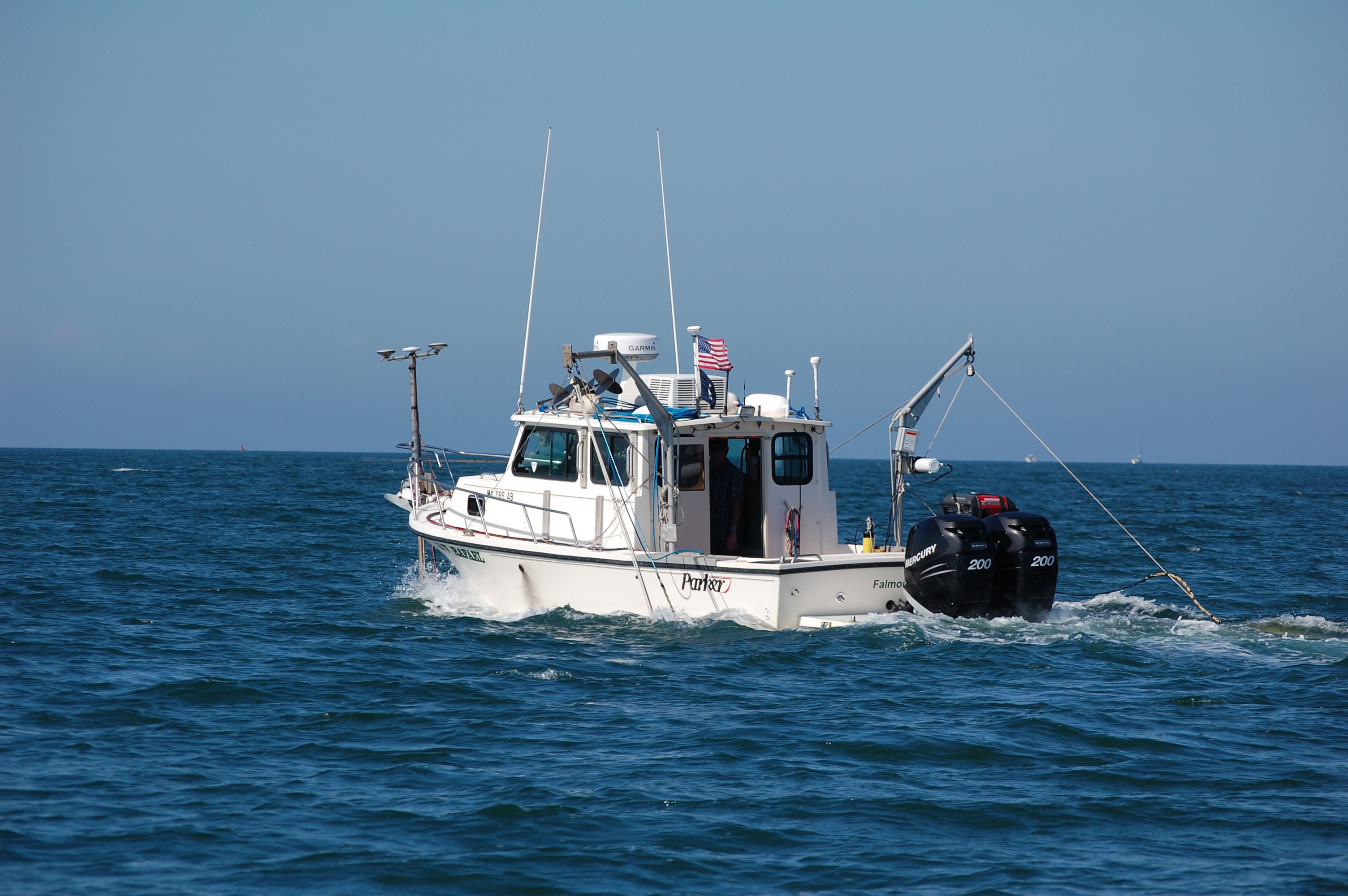
Figure 4. U.S. Geological Survey research vessel Rafael showing the configuration of acquisition equipment. The RTK GPS antennae and the swath interferometric sonar head are located off the bow, and the Klein 3000 sonar system and the Edgetech 424 bottom profiler are deployed from the port and starboard sides, respectively. Photograph by Dave Foster.

Accessibility FOIA Privacy Policies and Notices

Take Pride in America logo USAGov logo U.S. Department of the Interior | U.S. Geological Survey
End of USGS links group