Skip past header information
USGS - science for a changing world

Open-File Report 2012-1258

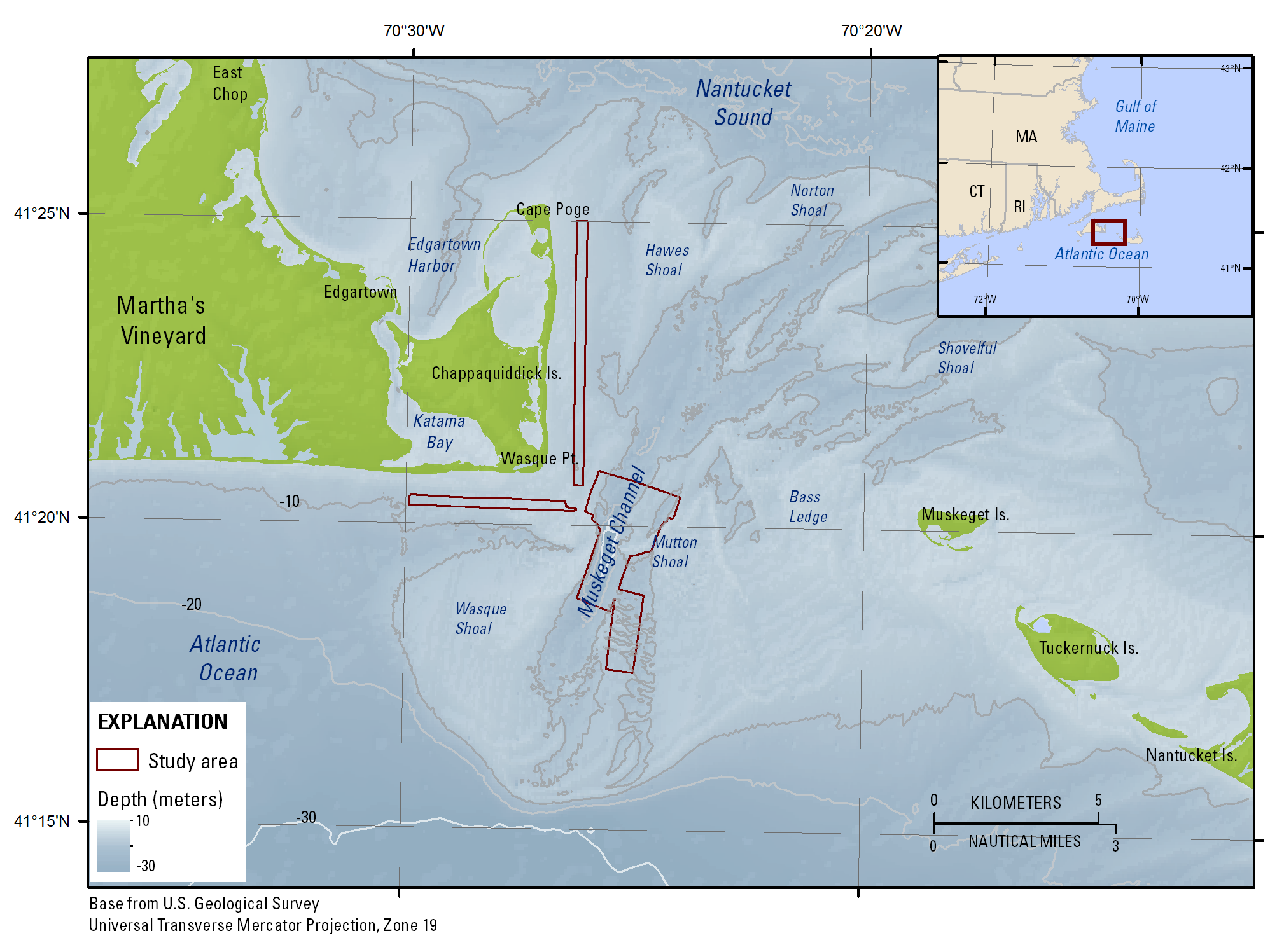
High-Resolution Swath Interferometric Data Collected within Muskeget Channel, Massachusetts


Skip past navigation menu to main textTitle Page / List of Figures / Conversion Factors and Datum / Abstract / Introduction / Data Collection and Processing / Acknowledgments / References Cited / Appendix / Index


Map showing the location of the Muskeget Channel, Massachusetts, survey area (outlined in red). Is., Island; Pt., Point; UTM, Universal Transverse Mercator.

Figure 1. Map showing the location of the Muskeget Channel, Massachusetts, survey area (outlined in red). Is., Island; Pt., Point; UTM, Universal Transverse Mercator.


Accessibility FOIA Privacy Policies and Notices

Take Pride in America logo USA.gov logo U.S. Department of the Interior | U.S. Geological Survey
URL: http://pubsdata.usgs.gov/pubs/of/2012/1258/html/imagepages/ofr2012-1258_Figure1.html
Page Contact Information: GS Pubs Web Contact
Page Last Modified: Monday, 02-Jun-2014 14:18:38 EDT