Open-File Report 2012-1258
High-Resolution Swath Interferometric Data Collected within Muskeget Channel, Massachusetts
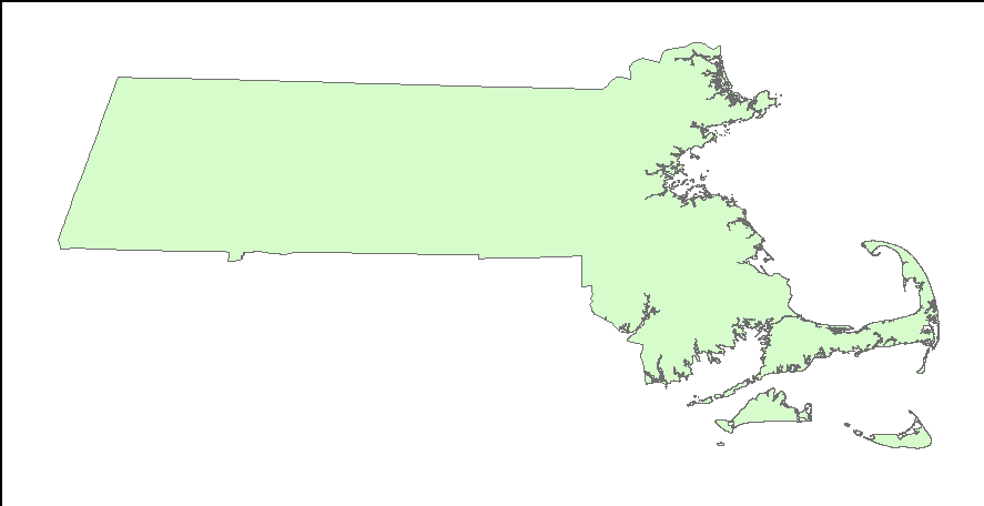
OUTLINE25K_POLY_UTM: Outline of the Commonwealth of Massachusetts (1:25,000) from the Massachusetts Office of Geographic Information (MassGIS) as seen in ArcMap™ 9.3.1.

![]() U.S. Department of the Interior |
U.S. Geological Survey
U.S. Department of the Interior |
U.S. Geological Survey
URL: http://pubsdata.usgs.gov/pubs/of/2012/1258/html/imagepages/ofr2012-1258_basemap.html
Page Contact Information: GS Pubs Web Contact
Page Last Modified: Monday, 02-Jun-2014 14:17:12 EDT
