Open-File Report 2012-1258
High-Resolution Swath Interferometric Data Collected within Muskeget Channel, Massachusetts

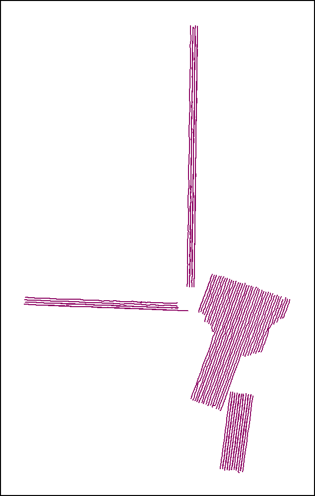
tracklines_2010_072_FA: Image of bathymetric tracklines from U.S. Geological Survey cruise 2010-072-FA as stored within ArcMap™ 9.3.1.