Skip past header information
USGS - science for a changing world

Open-File Report 2014-1118
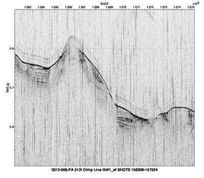
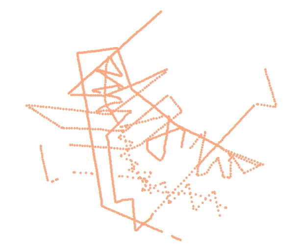
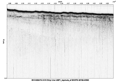
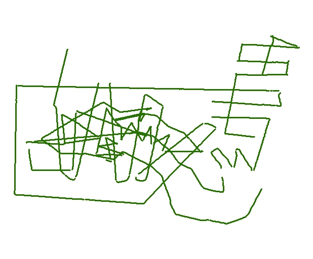
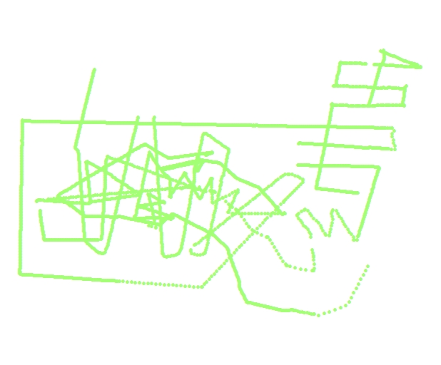

Chirp Seismic-Reflection Data From the Baltimore, Washington, and Norfolk Canyons, U.S. Mid-Atlantic Margin


Skip past contents information

Data Catalog

Data Access

The spatial data in this report are delivered in vector and raster format. Vector data can be viewed within an ArcMap 9.3.1 map document. Refer to the “Data Description” section below for details on file descriptions and locations.

Projection

All Geographic Information System (GIS) data in this report is projected in a geographic coordinate system referenced to the WGS 84 Datum.
Viewing the Data
The data can be accessed in several ways depending on software availability:
• ArcMap
• ArcReader 10.x (available at no cost: http://www.esri.com/software/arcgis/arcreader/download.html)

Data Download

All the data are stored and compressed within ZIP files in order to facilitate web downloads. ZIP files of the individual data layers are linked within the “Data preview” section. See “Data Preview” for specific download instructions. Vector data are stored as shapefiles within the ZIP file. Users will need to have a program capable of uncompressing a ZIP archive file. Several free programs can be downloaded to do this.

Data Description

This section describes the location of data within the folder storage structure of the Web page. Vector data are delivered as Esri shapefiles. Seismic-reflection profiles are in PNG image format. Navigation data are in the original ASCII HYPACK files. The survey log is delivered as a Microsoft Excel 2010 spreadsheet. The scripts used to process the seismic data are also provided.

data
This folder contains full_data_extent.mxd—ArcMap 9.3 (created in ArcMap 10.1, saved as a version 9.3 document) map document containing the GIS data layers. This file can be used to view the data as long as the following directory structure is maintained.

Subfolders include:

Baltimore_Canyon

GIS
BC_shotnav - Contains the shapefile of the shot point at 100-shot interval as well as the comma-separated values (CSV) of all the unique shot navigation for Baltimore Canyon.
BC_tracklines—Shapefile: seismic tracklines for Baltimore Canyon.

images
This folder contains PNG images of Baltimore Canyon seismic-reflection profiles.

Washington_Canyon

GIS
WC_all100shot—Contains the shapefile of the shot points at 100-shot interval as well as the comma-separated values (CSV) of all unique shot navigation for Washington Canyon.
WC_tracklines—Shapefile: seismic tracklines for Washington Canyon.

images
This folder contains PNG images of Washington Canyon seismic-reflection profiles.

Norfolk_Canyon

GIS
NC_all100shot—Contains the shapefile of the shot points at 100-shot interval as well as the comma-separated values (CSV) of all unique shot navigation for Norfolk Canyon.
NC_tracklines—Shapefile: seismic tracklines for Norfolk Canyon.

images
This folder contains PNG images of Norfolk Canyon seismic-reflection profiles.


hypack_nav
This folder contains all the raw HYPACK navigation data acquired during the survey. Each surveying day is represented by a separate folder.

ship_log
This folder contains the survey log maintained during the surveying in a Microsoft Excel 2010 file.

scripts
This folder contains the SIOSEIS scripts used to process the seismic-reflection data.

Data Preview

To download raster and vector data, right click on the link within the “Download ZIP file” column in the table below. “Save Target As...” to save a compressed ZIP file to the local hard drive.

File Description File name (metadata) View File format Download zip file
Primary Data for Baltimore Canyon
Baltimore Canyon tracklines BC_tracklines browse graphic for baltimore canyon tracklines Esri shapefile polylines BC_tracklines.zip
(393 KB)
Baltimore Canyon seismic-reflection profiles BC_all100shot browse graphic for baltimore canyon all shot Esri shapefile points BC_shotnav.zip
(729 KB)
Also contains the CSV text file of all the shot point navigation.
Baltimore Canyon seismic-reflection profiles BC_seisimages baltimore canyon seismic reflection profiles PNG BC_seisimages.zip
(142 MB)
Primary Data for Washington Canyon
Washington Canyon tracklines WC_tracklines browse graphic for washington canyon tracklines Esri shapefile polylines WC_tracklines.zip
(626 KB)
Washington Canyon seismic shotpoints at 100-shot interval WC_all100shot browse graphic for washington canyon all shot Esri shapefile points WC_shotnav.zip
(249 KB)
Also contains the CSV text file of all the shot point navigation.
Washington Canyon seismic-reflection profiles WC_seisimages washington canyon browse graphic for seismic reflection profiles PNG WC_seisimages.zip
(78.7 MB)
Primary Data for Norfolk Canyon
Norfolk Canyon tracklines NC_tracklines browse graphic of norfolk canyon tracklines Esri shapefile polylines NC_tracklines.zip
(741 KB)
Norfolk Canyon seismic shotpoints at 100-shot interval NC_100shot browse graphic of norfolk canyone all shot Esri shapefile points NC_shotnav.zip
(1.33 MB)
Also contains the CSV text file of all the shot point navigation.
Norfolk Canyon seismic-reflection profiles NC_seisimages norfolk canyon browse graphic for seismic reflection profile PNG NC_seisimages.zip
(179 MB)
Ancillary data
HYPACK navigation HYPACK_2012-005-FA HYPACK_2012-005-FA.zip
(45 MB)
Scripts used to process seismic-reflection data Individual scripts contain comments for usage instructions. scripts.zip
(7 KB)
Survey log maintained during cruise 2012-005-FA_Survey log Microsoft Excel 2010 surveylog_2012-005-FA.zip
(54KB)


Accessibility FOIA Privacy Policies and Notices

Take Pride in America logo USA.gov logo U.S. Department of the Interior | U.S. Geological Survey
URL: http://pubsdata.usgs.gov/pubs/of/2014/1118/ofr2014-1118-data-catalog.html
Page Contact Information: GS Pubs Web Contact
Page Last Modified: Wednesday, 07-Dec-2016 19:36:17 EST