
Introduction
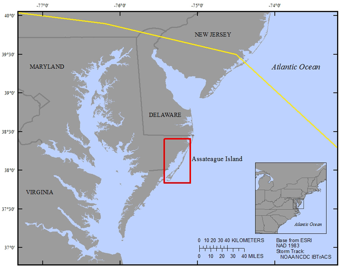
Figure 1. Regional map showing location of Assateague Island along the east coast of the United States and extent of the study area (indicated by red box). Hurricane Sandy storm track is indicated by yellow line (Knapp and others, 2010). [Click image to enlarge]
Interactions among sea-level, extreme storm events, and geologic constraints resulting in coastal evolution are complex and poorly understood. The coastal systems response to sea-level variations is expected to be non-linear as numerous physical, chemical, and biological feedbacks exist that can exacerbate and abate changes in water levels (Donnelly and Bertness, 2001; Kirwan and Murray, 2008; Langley and others, 2009). Likewise, extreme events have spatially non-homogeneous effects on coastal systems (Nyman and others, 1995; Morton and Barras, 2011; Smith and others, 2013). The historical context of how sea level and storms affect a coastal system provides a key dataset for evaluating the response of coastal systems and helps to develop hypotheses and predictions for assessing how these systems might respond under persistent or changing conditions in the future. Such metrics are critical for developing mitigation plans and building resilient coastal communities, one of the primary goals of the Department of the Interiors Hurricane Sandy supplemental funding awarded as part of the Disaster Relief Appropriations Act of 2013 (Buxton and others, 2013).
The 2012 Atlantic hurricane season included a total of 19 named tropical storms, 10 of which evolved into hurricanes. The most notable and publicized of the 2012 hurricanes was Hurricane Sandy. Initial damage estimates for the United States alone were $50 billion (Stewart, 2014), second to Hurricane Katrina, which struck the U.S. gulf coast in 2005 ($108 billion). Direct fatalities associated with Hurricane Sandy reached 72 in the mid-Atlantic and Northeastern United States (Stewart, 2014). Prior to making landfall, the hurricane merged with two additional low-pressure systems forming what has been referred to as “Superstorm” Sandy. The large post-tropical storm known as Hurricane Sandy made landfall near Brigantine, New Jersey, just north of Atlantic City on October 29, 2012 (Blake and others, 2013; Buxton and others, 2013). At the time it made landfall, the storm system had a wind field diameter of more than 1,500 kilometers (km) and maximum sustained winds of 130 kilometers per hour (km h-1) (Blake and others, 2013). The storm made landfall during a spring high tide, and storm surge approached 6 meters (m) along the New Jersey and New York coasts. Overwash associated with the storm tide was reported from North Carolina to New York (Blake and others, 2013). The storm also delivered large volumes of precipitation; eastern Maryland, Virginia, and southern Delaware reported rainfall amounts of 12.7–17.8 centimeters (cm). Bellevue, Md., approximately 100 km northwest of Chincoteague Bay, reported the highest peak amount of rain (32.6 cm; Blake and others, 2013). High discharge in rivers in the impacted region resulted in substantial remobilization of sediments, especially around dam structures (Dennison and others, 2012).
Like other large storms, Hurricane Sandy affected a vast region of the mid-Atlantic shoreline extending from the shallow marine to mainland environments. To evaluate how this event process affects the coastal evolution, quantitative metrics for both long- and short-term changes in marsh-wetland coastlines are required. Such quantitative metrics would support vulnerability assessments of coastal ecological systems and their underlying physical systems. Scientists from the U.S. Geological Survey (USGS), using the Department of the Interior’s Hurricane Sandy supplemental funding, developed a project entitled “Barrier Island and Estuarine Wetland Physical Change Assessment” that focused on defining quantitative metrics and developing such an assessment. The initial focus of the project is on Assateague Island and adjacent Chincoteague Bay, Virginia and Maryland—a classic barrier island and bar-built estuary (lagoon) system common to much of the mid-Atlantic coast of the United States (fig. 1). The objectives of the project are to
1. Identify and measure shoreline changes resulting from Hurricane Sandy along Assateague Island using remotely sensed data;
2. Sample and analyze sediment cores to understand long-term geologic processes and provide ground-truth measurements for the remote sensing analysis;
3. Assess the likelihood of wetland change resulting from future storm events and link this assessment to the vulnerability assessment for beaches and dunes that has already been developed.
This report presents the approach and results of the second component of the project: the study of select sedimentary products of the island. This component of the project not only places the impacts of Hurricane Sandy in a historical context, it also helps explain the overall interplay between storms, sea-level rise, and geologic processes that are responsible for coastal evolution. Although the impact of storms are cumbersome and hazardous in terms of human infrastructure and coastal communities, storm surge, breaching, and overwash are natural processes that allow barrier islands to migrate landward in response to rising sea level. Curtailment of these processes will affect the longevity of the barrier island system in ways that might make long-term sustainability of these systems more difficult or increase vulnerability over the long term (Smith and others, 2008). The objectives of this study are to (1) characterize the surficial sediment of the relict overwash deposits and back-barrier marshes, and (2) characterize the sediment of six marsh cores from the back-barrier marshes and a single marsh island core near the mainland to evaluate potential episodes of event deposition.
