|
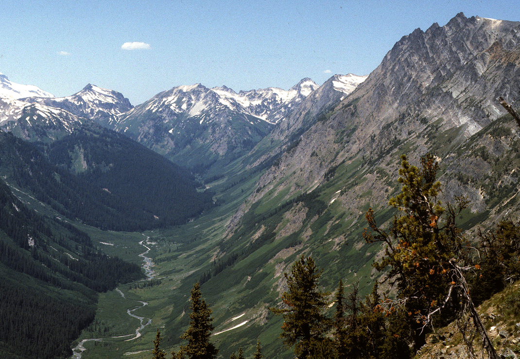
Qa-1. View northwest up Napeequa River valley from north of Little Giant Pass [Tsw]. Alluvium of valley bottom (Qa) grades into alluvium (Qu), mostly fans and valley side debris. Napeequa Schist (Kns), with typical relict bedding, dips northeast in foreground canyon wall. The schist is intruded by Cretaceous stitching plutons: the granodiorite High Pass pluton (Kg) and tonalitic stocks (Kt) associated with the Tenpeak pluton. Qcav, rocks of young Cascade volcanoes; Qag, alpine glacial deposits (outwash and debris-flow deposits from the Clark Glacier, out of picture to left). View image with annotation
|