Project Description - Ten Thousand Islands (2009)
|
1200
Figure 40. Project study area - Ten Thousand Islands, Florida. [Click on icon for link to data page] Restoration of the Everglades requires the implementation of many components staged temporally and spatially with results realized on different time and spatial scales. Due to extensive feeding and migratory patterns of manatees, restoration effects on Florida manatees must be modeled and monitored over large time and space scales. USGS efforts have focused on collecting manatee movement data throughout the Ten Thousand Islands (TTI) region (fig. 40) and developing an individual-based model to illustrate manatee responses to changes in hydrology related to the Picayune Strand Restoration Project (PSRP) (Langtimm and others, 2009). The research on manatees is part of the U.S. Geological Survey (USGS) Southeast Ecological Science Center’s (SESC) Sirenia research project. Updated bathymetric data for the TTI area were necessary to create an accurate numerical model for manatee research. This project addresses the collection and interpretation of data necessary to develop the present day bathymetry of the TTI region. The USGS St. Petersburg Coastal and Marine Science Center (SPCMSC) in cooperation with USGS SESC performed a bathymetric survey of the TTI area using a single-beam hydrographic system referenced to a local differential GPS station (fig. 41). GPS-based bathymetric surveying is a proven method to accurately map coastal and bay sea floor elevations.
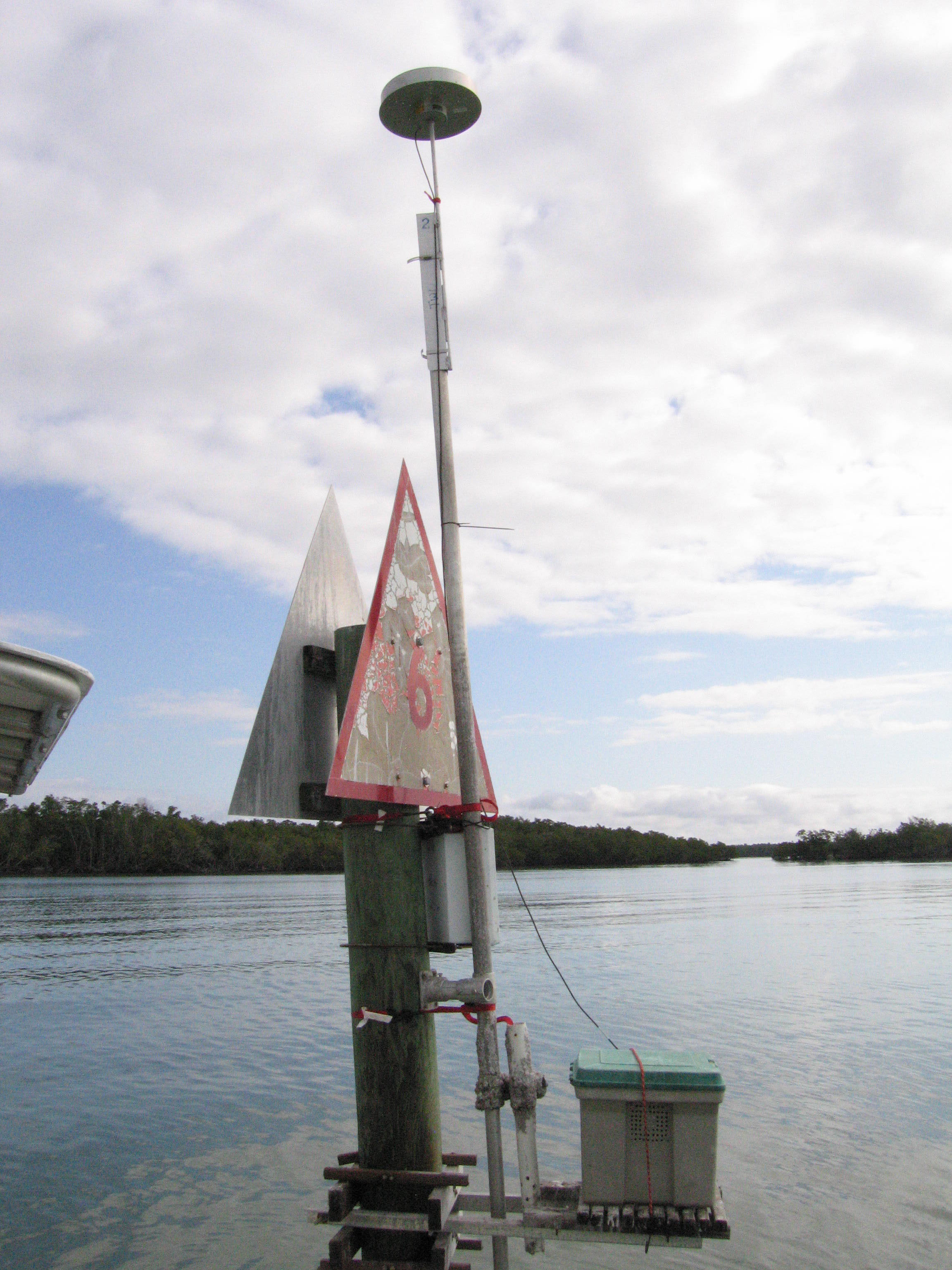
Figure 41. GPS reference station used for Ten Thousand Islands survey. [Click to enlarge] |
SURVEY HIGHLIGHTS
|