Project Description - Caloosahatchee River (2002)
|
Figure 20. Project study area - Caloosahatchee River, Florida. [Click on icon for link to data page] The Caloosahatchee River is located in southwest Florida and drains northern parts of the Florida Everglades (fig. 20). The river stretches 110 kilometers (km) inland and empties into the Gulf of Mexico at Fort Myers and Cape Coral, Florida. The lower section of the river is part of the Estero Bay estuary system and provides critical habitat for a large variety of plants and animals. The river has been greatly altered for navigation, agriculture, and human development needs, and its flow is managed by a series of upland locks and dams. This project addresses the collection and interpretation of data necessary to develop the present day bathymetry of the Caloosahatchee/Estero Bay region. This project supports several South Florida Water Management District (SFWMD) efforts including the minimum flow levels (MFL) development for Estero Bay, the Caloosahatchee estuary MFL, and the Southwest Florida Feasibility Study. The project also supports hydrodynamic modeling and other nonmodeling efforts such as the determination of the oligolialine zone in the Estero Bay system. The USGS, in cooperation with SFWMD, performed a bathymetric survey of the lower Caloosahatchee River using a single-beam, GPS, hydrographic system (fig. 21). GPS-based bathymetric surveying is a proven method to accurately map coastal and bay sea floor elevations. Survey tracklines were spaced 500-meters (m) apart oriented along the long axis of the river. Tracklines collected across the river (intersecting tracklines) functioned as a cross-check and to assess the relative vertical accuracy of the survey.
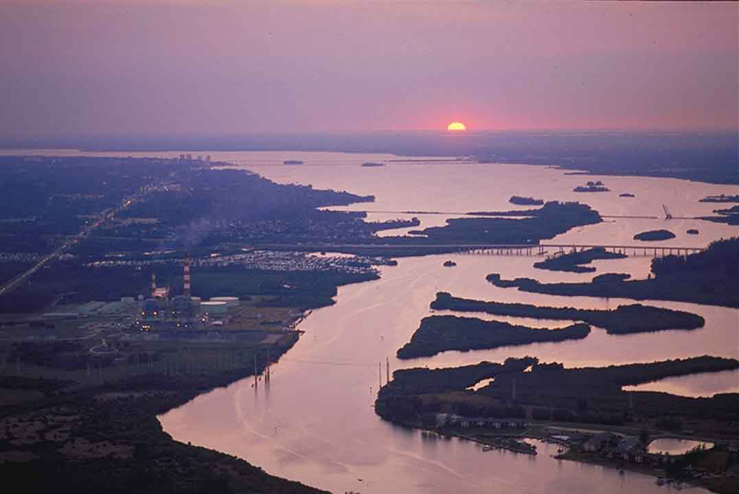
Figure 21. Aerial photo of the Caloosahatchee River looking west toward the Gulf of Mexico (Source: SFWMD). [Click to enlarge] |
SURVEY HIGHLIGHTS
|