Project Description - Lake Okeechobee (2001)
|
Figure 14. Project study area - Lake Okeechobee, Florida. [Click on icon for link to data page] Lake Okeechobee (fig. 14) is located in south Florida and is bounded by the Kissimmee River Basin to the north and Everglades National Park to the south and is the largest lake (1,890 square kilometers [km2]) in Florida. The Lake Okeechobee watershed encompasses a drainage area of more than 14,200 km2 (SFWMD, 2011). The lake provides water supply for agricultural areas, back-up water supply for urban areas, flood protection to adjacent communities, critical bird and fisheries habitats, and is part of the Okeechobee Waterway navigation canal. Over the past 100 years, land-use change and population increases have adversely impacted the health of the lake mostly by extreme water-level fluctuations and excessive nutrient loading mainly from agricultural activities. Of primary interest to the USGS and the South Florida Water Management District (SFWMD) is the quantification of the present day lakebed in Lake Okeechobee. This information can be used by water management decision-makers to better control extreme water-level fluctuations and to assess the water storage capacity of the lake at various levels. High-resolution, GPS-based, bathymetric mapping was conducted in 2001 on Lake Okeechobee by the USGS in cooperation with SFWMD. GPS-based bathymetric surveying is a proven method to accurately map lake sea floor elevations. Survey tracklines oriented in a north-south direction were spaced 1,000-meter (m) apart. Several perimeter survey lines were also collected. Soundings were collected along each trackline at 3-m spacing. In shallow areas, data were collected in a minimum water depth of 0.6 m except where there was potential damage to the bottom environment.
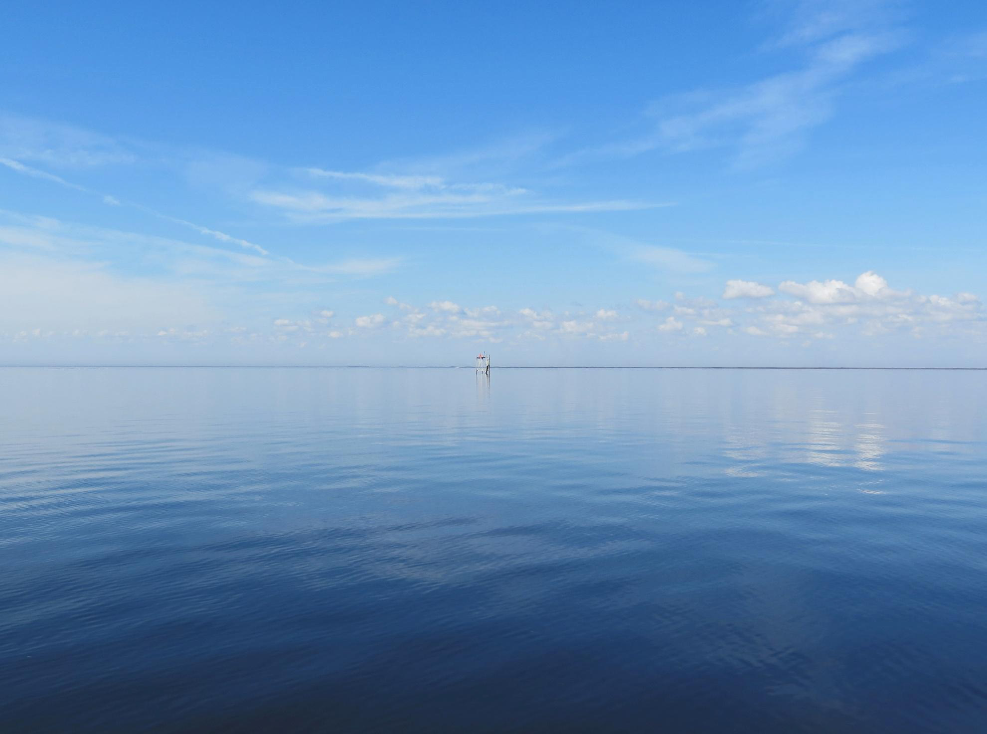
Figure 15. Lake Okeechobee and tower used for positioning a survey GPS receiver. [Click to enlarge] |
SURVEY HIGHLIGHTS
|