Project Description - Southwest Florida Rivers (2004)
|
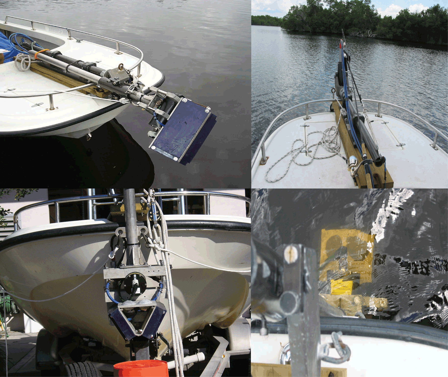
Figure 35. Project study area - Eight southwest Florida rivers and Tarpon Bay. [Click on icon for link to data page] During the past century, river and tidal creeks (fig. 35) throughout the coastal wetlands of the Everglades have filled with sediment and vegetation of surrounding landscapes to the point that many have greatly diminished or disappeared entirely. Restoration plans are under consideration to redirect additional freshwater inflow from the Everglades to open and sustain these waterways to a level that closely resembles historical patterns. In the last 100 years, requirements for water supply and flood protection for urban areas and agriculture in south Florida have resulted in the construction of an extensive canal system to prompt drainage of water into the Atlantic Ocean rather than allowing seasonal seepage through the Everglades and Florida Bay. Water diversions and excessive nutrients and contaminants within the Everglades have decimated bird populations and driven the Florida panther to the brink of extinction (Roelke and Glass, 1992). In Florida Bay, declines in sea grasses have resulted in decreasing water clarity, degradation of the food web, and declines in fish populations. The data acquired for this project were applied in South Florida Water Management District (SFWMD) hydrodynamic modeling efforts for determining minimum flow levels (MFL), and for Priority Ecosystem Science (PES) studies to assist in the sustainable use, protection, and restoration of the Everglades and other ecosystems within the southwest region of Florida. A shallow water sonar swath interferometric system (fig. 36) was determined to be best suited for fulfilling project requirements that demanded high resolution bathymetry.
Figure 36. Interferometric swath system setup on a very shallow draft survey boat. [Click to enlarge] |
SURVEY HIGHLIGHTS
|