Data Series 1046
| IntroductionDauphin Island, Alabama, is a barrier island approximately 16 square kilometers (km2) in size in the northern Gulf of Mexico (fig. 1). It consists of numerous diverse habitats including beaches, dunes, washover fans, marshes, maritime forests, and freshwater ponds, which cover over 200 acres. Dauphin Island is an important habitat for various solitary and colonial beach-nesting birds, and to numerous trans-gulf migratory birds. Dauphin Island is located between Petit Bois Island, Mississippi, to the west and Gulf Highlands, Alabama, to the east. Dauphin Island separates the Gulf of Mexico from Mississippi Sound and helps define the mouth of Mobile Bay to the northeast from the gulf. Dauphin Island is an important buffer that provides protection to much of the Alabama coast by mitigating the effects of storm events, such as storm surge, and helps regulate the salinity in Mississippi Sound by restricting water exchange with the gulf. These protections are necessary for the seagrasses, oyster reefs, estuarine fisheries, shrimp, and coastal marshes of Alabama and Mississippi Sound. However, as a result of the location of the island, it has been affected by the Deepwater Horizon Oil Spill in 2010 and recent extreme storm events, specifically Hurricanes Ivan and Katrina in 2004 and 2005, respectively, which collectively caused a major breach on the west side of the island. In 2014, the National Fish and Wildlife Foundation (NFWF) partnered with the U.S. Geological Survey (USGS) and United States Army Corps of Engineers (USACE) to conduct a technical assessment of the island. Scientists from the St. Petersburg Coastal and Marine Science Center (SPCMSC) collected 303 sediment samples from Dauphin Island and the surrounding water bodies to determine the sediment distribution patterns on and around the Island; this corresponds to task 2.4 of the Alabama Barrier Island Restoration Assessment. The sampling efforts by the USGS were part of a larger study to assess the feasibility and sustainability of proposed restoration efforts for Dauphin Island, Alabama, and assess the resilience of the island to rising sea level and storm events. The data collected and presented in this publication can be used by modelers to validate hindcast models and create predictive forecast models for both baseline conditions and storms. Understanding how sea level and storms have historically affected coastal systems allows researchers to develop predictions for assessing how these systems might respond in the future. 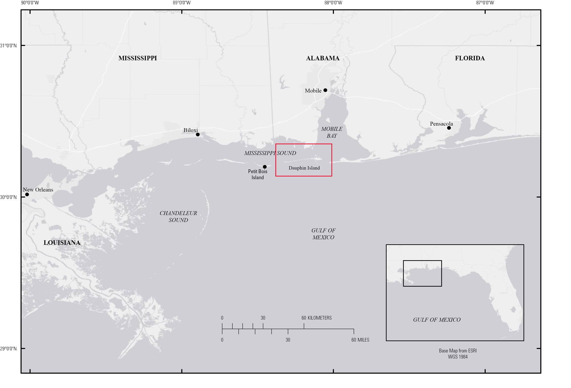 Figure 1. Regional map showing the location of Dauphin Island on Alabama's gulf coast. Study area is indicated by red box. [Click to enlarge] |

![]() U.S. Department of the Interior |
U.S. Geological Survey
U.S. Department of the Interior |
U.S. Geological Survey
URL: http://pubsdata.usgs.gov/pubs/ds/1046/ds1046_intro.html
Page Contact Information: GS Pubs Web Contact
Page Last Modified: Wednesday, 07-Jun-2017 11:47:58 EDT
