Data Series 1095
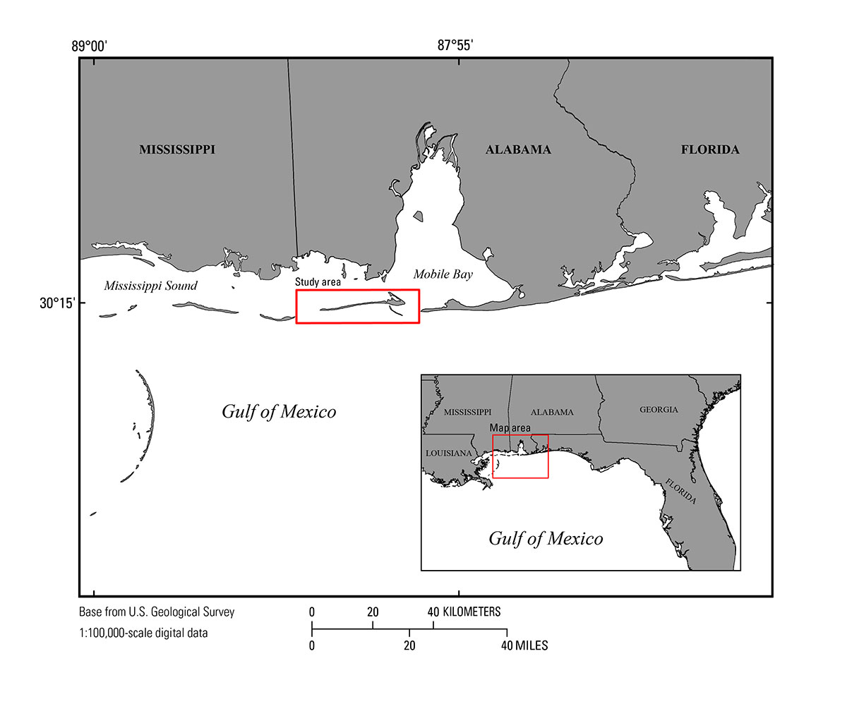
| IntroductionDauphin Island, Ala., is an approximately 430 square-kilometer (km2) barrier island located in the Southern United States along the Gulf of Mexico (fig. 1). The eastern half of the island contains maritime forests and wetlands that transition westward into a narrow, sandy strip of land. Dauphin Island is the State of Alabama’s only barrier island, and it protects the mainland and the Mississippi Sound ecosystems from storm surge, wave energy, pollutants, and rising sea level. Dauphin Island has been affected by several recent storms (Hurricanes Lili (2002), Ivan (2004), Dennis and Katrina (2005), and Isaac (2012)), all of which significantly changed the morphology of the island through erosion and breaching. Storms, along with sea-level rise, present a continued threat to island stability, prompting concern over preservation strategies and actions. Coastal managers are incorporating scientific analysis, provided as information and assistance, that can be used to help formulate and implement a plan for the recovery, preservation, and future maintenance of Dauphin Island. Federal agencies, primarily the U.S. Geological Survey (USGS) St. Petersburg Coastal and Marine Science Center (SPCMSC) and the U.S. Army Corps of Engineers (USACE), together with the State of Alabama and through a grant from the National Fish and Wildlife Foundation Gulf Environmental Benefit Fund, are collaborating to produce a comprehensive restoration plan for Dauphin Island. One aspect of the restoration planning is learning to understand baseline morphology in and around the island platform, which requires a comprehensive bathymetric survey of the nearshore waters. In August 2015, the USGS–SPCMSC, as part of the Alabama Barrier Island Restoration Study, conducted a high-precision, single-beam bathymetric survey (SBB) in the nearshore and back-barrier waters surrounding Dauphin Island. The survey, field activity number (FAN) 2015–326–FA, collected over 1,000 line-km of SBB data and generated over 5 million data points, which were used to produce a digital elevation model (DEM). The bathymetric data acquisition and processing methods are described in this report. Data products, including x,y,z data-point files, DEMs, metadata, and field logs can be downloaded from the Data Downloads page or the USGS data release (DeWitt and others, 2017).
|

![]() U.S. Department of the Interior |
U.S. Geological Survey
U.S. Department of the Interior |
U.S. Geological Survey
URL: http://pubsdata.usgs.gov/pubs/ds/1095/ds1095_intro.html
Page Contact Information: GS Pubs Web Contact
Page Last Modified: Wednesday, 10-Oct-2018 10:05:30 EDT