U.S. Geological Survey Data Series 761
To view the photographs in Google Earth, access one of the 3 KML documents, one per disk, linked in the list provided below (Figures 3-12), view the regional maps 03cch01_1, 03cch01_2, or 03cch01_3, or use the thumbnail maps provided below. The storm track layer on the KML originated from NOAA (http://www.srh.noaa.gov/gis/kml/). The flightpath balloons on the KML contain a balloon number, the associated storm name, latitude, longitude, the slide name, geographic area surveyed, date, and time. A thumbnail image of the photograph is also provided along with links to the full-size photograph and the associated contact sheet to which that photograph correlates. Detailed information about each photograph is provided in table 1, for the northern, central, and southern/inland regions of the survey.
Setup for viewing the KML file using Google Earth v. 5.2.1.1588 (for PC and Mac): Open Google Earth Preferences (Tools on a PC) and click on the General tab. "Allow placemark balloons to access local files and personal data" must be enabled. For other verisions of Google Earth, check the Google Earth Web site for information.
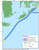
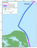
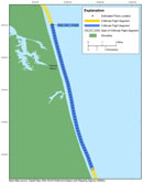
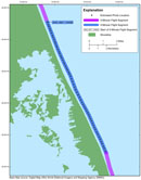
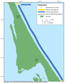
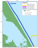
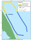
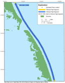
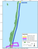
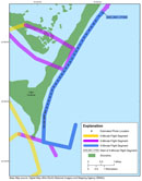
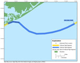
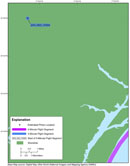
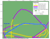
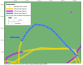
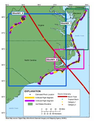
NOTE: The survey's full-size photographs have been divided onto three discs, 03cch01_1 (Disc 1), 03cch01_2 (Disc 2), and 03cch01_3 (Disc 3) (see full survey area map). Each disc contains a KML file with links to the related full-size photographs. (Internet version contains all photographs and all three KML files.)
Flightpath maps were created with ESRI ArcGIS 10.0 software, exported to Adobe Illustrator CS4 for further editing, and saved in JPEG format. These JPEG maps were used to create the interactive HTML maps provided below.
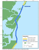
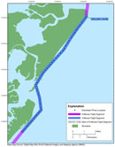
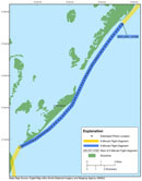
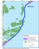
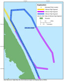
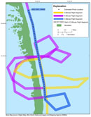
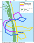
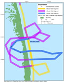
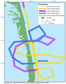
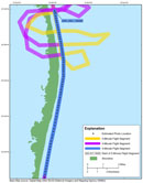
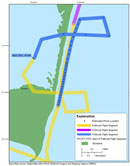
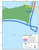
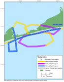
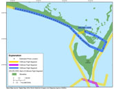
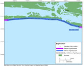
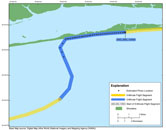
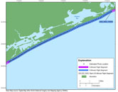
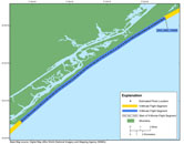
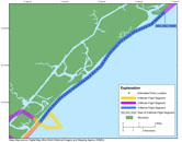
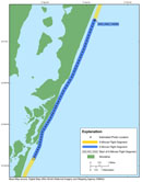
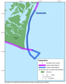
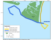
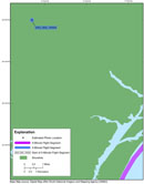
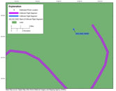
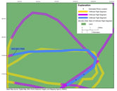
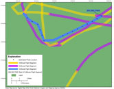
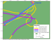
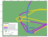
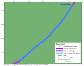
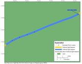
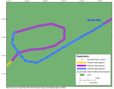
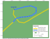
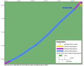
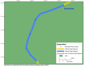
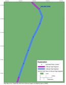
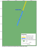
For ease of navigating through the photographs, the flightpath is divided up into color-coded 5-min segments, and thumbnail, photograph, contact sheets were created for each 5-min segment of flight time. The flightpath maps contain links to the 5-min contact sheets for each of the contact sheets for each color-coded segment. Refer to table 1 for detailed information about the photographs for the northern, central, and southern/inland portions of the survey photographs, respectively.
 |
||||
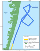
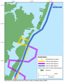
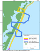
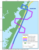
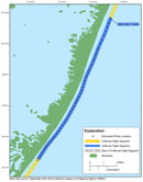
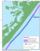
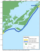
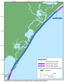
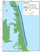
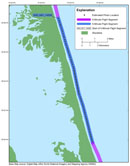
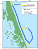
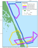
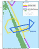
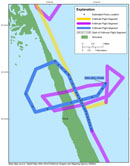
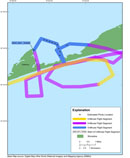
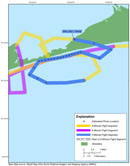
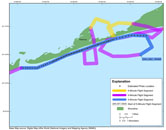
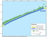
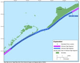
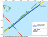
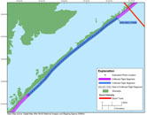
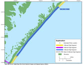
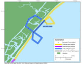
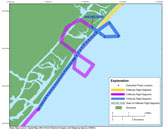
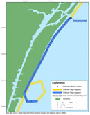
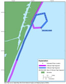
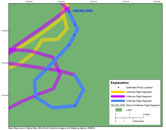
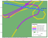
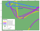
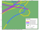
Below are the thumbnail maps of the 5-min segments shown in blue, which link to the corresponding contact sheets. The segments in yellow and purple represent the previous and latter segments.
NOTE: There were no photographs taken during the 5-min segments beginning at 2003_0922_131919, 2003_0922_134000, 2003_0923_173630, 2003_0923_174000, and 2003_0923_174500. The survey's full-size photographs have been divided onto three discs, 03CCH01_1 (Disc 1), 03CCH01_2 (Disc 2), and 03CCH01_3 (Disc 3) (see full survey area map). Each disc contains its own KML file with links to the related full-size photographs contained on this disc. (Internet version contains all photographs.)

![]() U.S. Department of the Interior |
U.S. Geological Survey
U.S. Department of the Interior |
U.S. Geological Survey
URL: http://pubsdata.usgs.gov/pubs/ds/761/pubs761/html/photos.html
Page Contact Information: GS Pubs Web Contact
Page Last Modified: Monday, 28-Nov-2016 19:11:30 EST