|
|
|
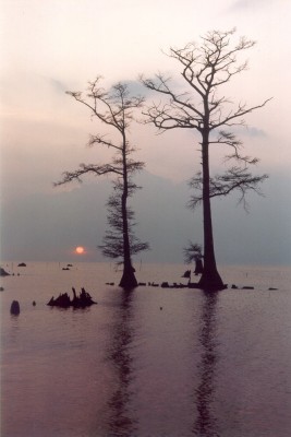
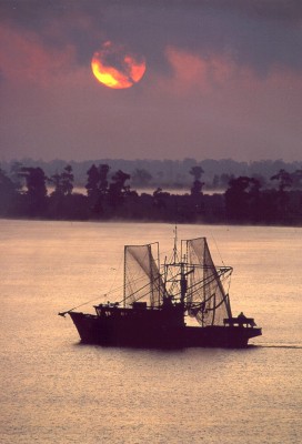
Photographs by Julia Sims
Preface -- S. Jeffress Williams
Lake Pontchartrain is the largest estuary in southern Louisiana. It is an important recreational, commercial and environmental resource for New Orleans and southeastern Louisiana. This publication is part of a five-year, cooperative program led by USGS on the geological framework of the Lake Pontchartrain Basin.
This presentation has two parts. One part provides new scientific research results and documentation. This includes a preliminary release of a comprehensive database and report on bottom sediments from Lake Pontchartrain and surrounding waterways. The second part provides background information on the area for a wide circle of users. This is highlighted by an in-depth school curriculum guide to environmental education based on Lake Pontchartrain.
Click here for |
TABLE OF CONTENTS
DISCLAIMER
: Information on this web site is preliminary and has not been formally reviewed and approved by the Director of the U.S. Geological Survey. Although efforts have been made to screen information for data that may be seriously compromised, the data provided here are not guaranteed to be correct or complete. Conclusions drawn from the data are the responsibility of the users. For more detail on data quality, including evaluation of data from heterogeneous sources, see technical discussion in the relevant sections. Mention of commercial software or services does not imply endorsement by the USGS.

