Open–File Report 2000–0347
|
|
||
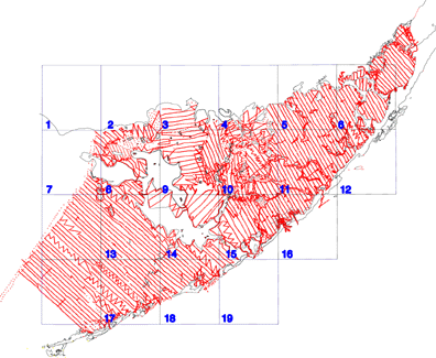
| 1. Lake Ingraham East | 8. Clive Key | 15. Upper Matecumbe Key |
| 2. Flamingo | 9. Pelican Keys | 16. Plantation Key |
| 3. Westlake | 10. Calusa Keys | 17. Grassy Key |
| 4. Madeira Key | 11. Tavernier | 18. Long Key |
| 5. Joe Bay | 12. Rock Harbor | 19. Lower Matecumbe Key |
| 6. Blackwater Sound | 13. Schooner Key | |
| 7. Sandy Key | 14. Buchanan Key | |

![]() U.S. Department of the Interior |
U.S. Geological Survey
U.S. Department of the Interior |
U.S. Geological Survey
URL: http://pubsdata.usgs.gov/pubs/of/2000/0347/1890trk.html
Page Contact Information: GS Pubs Web Contact
Page Last Modified: Wednesday, 01-Jun-2022 10:21:45 EDT
