|
|
publications > open file report > historical aerial photography for the greater everglades of south florida: the 1940, 1:40,000 photoset > gis files
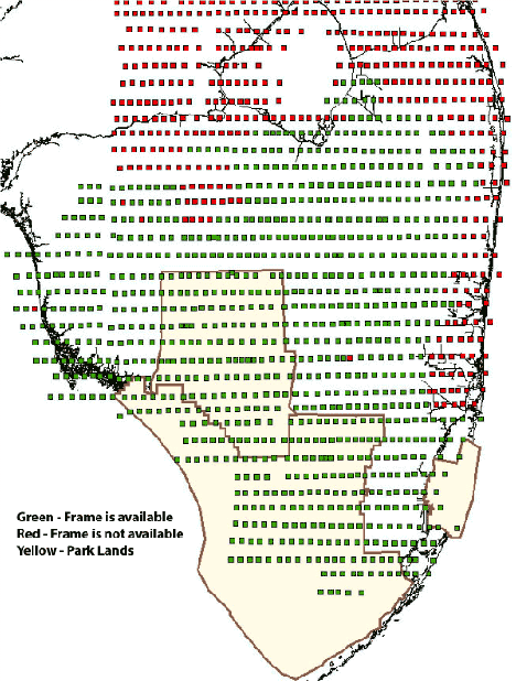
Open-File Report 02-327 - Historical Aerial Photography for the Greater Everglades of South Florida: The 1940, 1:40,000 PhotosetGIS Data:A shapefile is included (compressed in *.zip format). This file – sn01_1940xy.zip - contains points corresponding to the location of visible photo centers from the mosaics. The shapefile attributes table provides information about the identity of the photograph, including flight and photo number fields. Together, these two fields identify the frame number of the photograph and the file name of the .jpg image published in this document, e.g. flight number 10, photo number 19 corresponds to frame 10_19 (or filename 10_19.jpg of this publication). The shapefile attribute table also includes information about the content and condition of the photograph. Users should refer to the metadata file (.sgml) for more detailed information about attribute fields. Files are consistent with the UTM Zone 17 N Coordinate System, NAD83 Datum, and GRS80 Spheroid. Files are intended to facilitate locating aerial photographs of interest and are not to be used for navigation or as absolute photo centroids.
Home | Introduction | Location | GIS Files | Image Directory | Flight Lines | Metadata | Notes |
| Disclaimer | Privacy Statement | Accessibility |
U.S. Department of the Interior, U.S. Geological Survey
This page is: http://sofia.usgs.gov/publications/ofr/02-327/htm/gis.htm
Comments and suggestions? Contact: Heather Henkel - Webmaster
Last updated: 06 May, 2014 @ 01:14 PM(HSH)


