Texture, Carbonate Content, Preliminary Maps of Surficial Sediments, Flower Garden Banks Area, NW Gulf of Mexico Outer Shelf, USGS Open-File Report 03-002
Home / Contents / Introduction / Setting / Methods / Previous Work / Discussion / Conclusions / Acknowledgments / References
Appendices: I. Field Report / II. Sediment Analysis / III. Table / Graphic / IV. Figures / V. Fig. Summary / VI. GIS/Metadata
 |
|
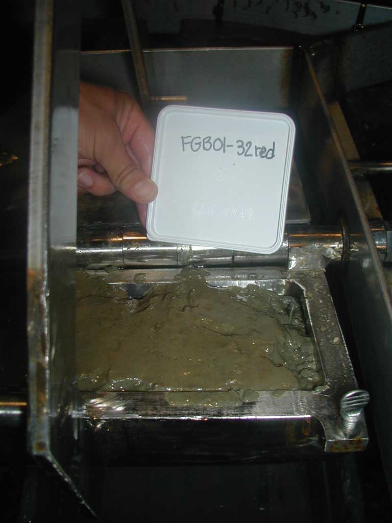
FGB01-32RED
|
|
Sample ID:
|
FGB01-32RED |
|
Depth (in meters):
|
123 |
|
Latitude (Decimal Degrees, North):
|
27.86067 |
|
Longitude (Decimal Degress, West):
|
-93.917 |
|
% CaCO3:
|
27.48 |
|
% Gravel:
|
0.06 |
|
% Sand:
|
4.96 |
|
% Silt:
|
39.99 |
|
% Clay:
|
54.98 |
|
Folk Classification:
|
SLIGHTLY GRAVELLY MUD |
Back to the Sample Index (table) (graphic)
[an error occurred while processing this directive]