Skip past header information
Identifier symbol and link to USGS Home page
The Gulf of the Farallones: Sidescan-Sonar Imagery, USGS Open-File Report 2004-1082

Skip past index
Image showing sidescan-sonar navigation tracklines

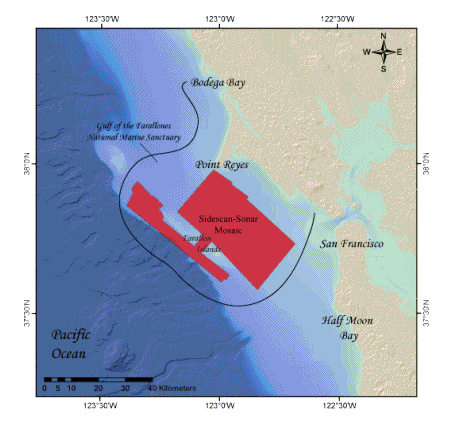
Figure 3. Outline of the Gulf of Farallones AMS-120 sidescan-sonar study region.


Back to Introduction


Skip past footer information
Home Page / Mosaic & Explanation / GIS Data / Contacts / About this Disk

[an error occurred while processing this directive]