U.S. Geological Survey Open-File Report 2009-1072
Geophysical and Sampling Data from the Inner Continental Shelf: Duxbury to Hull, Massachusetts
Title Page / Contents / List of Figures / Conversion Factors / Abstract / Introduction / Data Collection/Processing / Acknowledgments / References Cited / Appendix 1 / Appendix 2 / Appendix 3
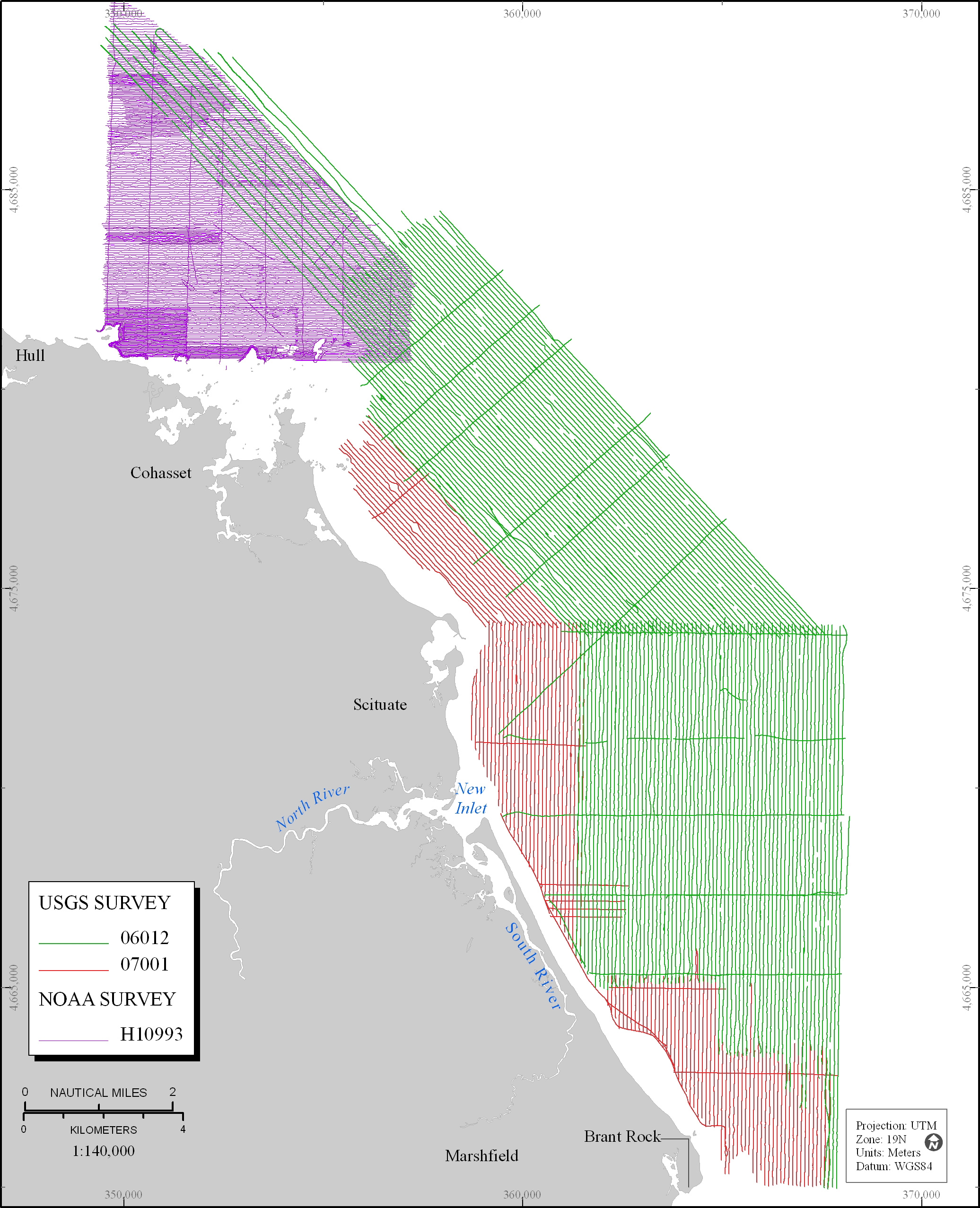
Figure 2. Map showing tracklines of geophysical data collected by USGS (red and green lines) and NOAA (purple lines). USGS, U.S. Geological Survey; NOAA, National Oceanic and Atmospheric Administration.
View the full size image in JPEG format (1.94 MB).
« Previous: Figure 1
Next: Figure 3 »