U.S. Geological Survey Open-File Report 2009-1072
Geophysical and Sampling Data from the Inner Continental Shelf: Duxbury to Hull, Massachusetts
Title Page / Contents / List of Figures / Conversion Factors / Abstract / Introduction / Data Collection/Processing / Acknowledgments / References Cited / Appendix 1 / Appendix 2 / Appendix 3
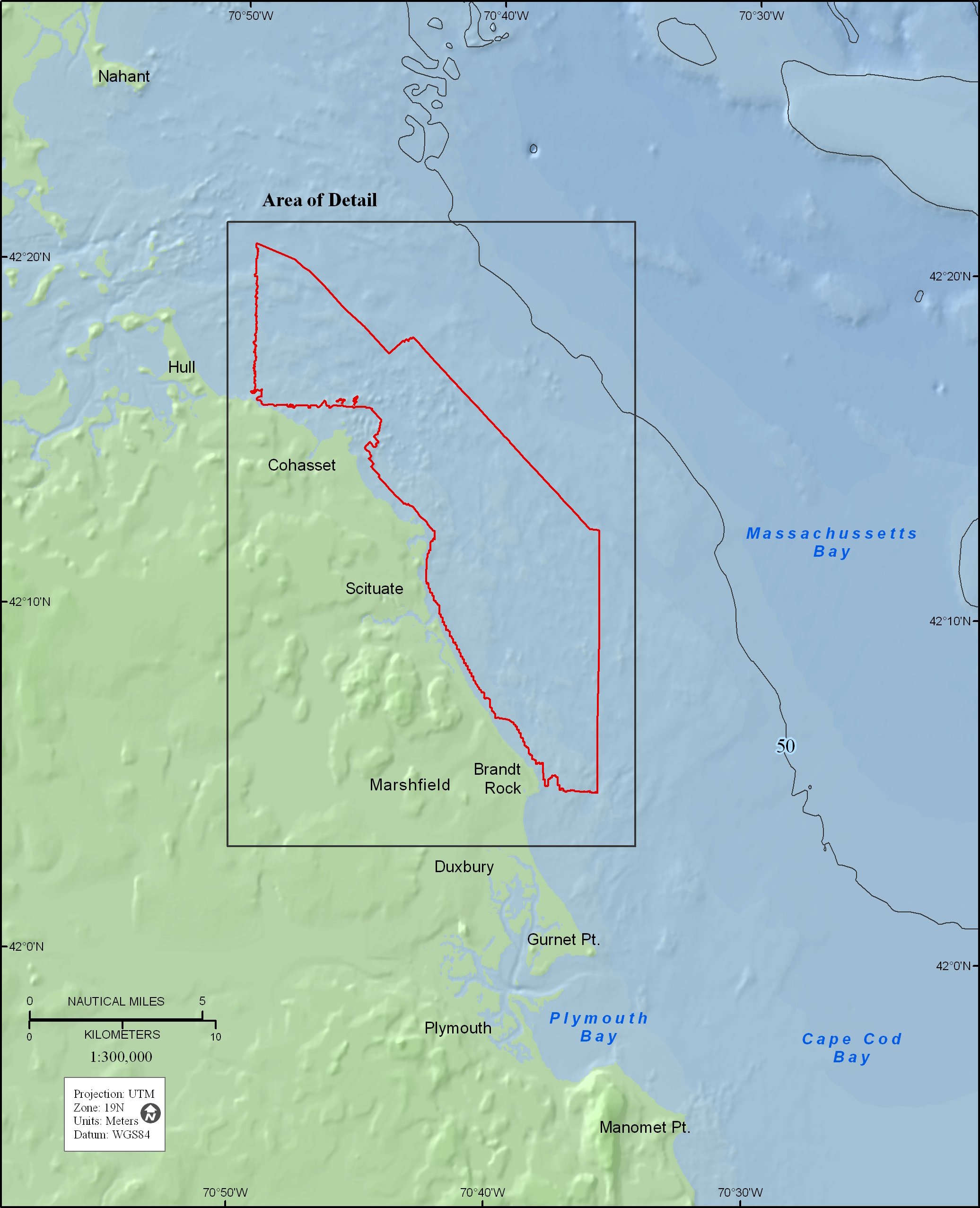
Figure 1. Map showing the location of the survey area (outlined in red) offshore of eastern Massachusetts between Duxbury and Hull. The 50-meter depth contour is shown. Black rectangle indicates area of detail shown in figures 2, 4, and 5.
View the full size image in JPEG format (858 KB).
« Previous: Figure 6
Next: Figure 2 »