Skip past header information
USGS - science for a changing world

U.S. Geological Survey Open-File Report 2010-1035

Geophysical Data Collected from the St. Clair River between Michigan and Ontario, Canada (2008-016-FA)


Skip past contents informationTitle Page / Contents / List of Figures / Conversion Factors / Abstract / Introduction / Data Acquisition and Processing / Data Catalog / Acknowledgments / References Cited


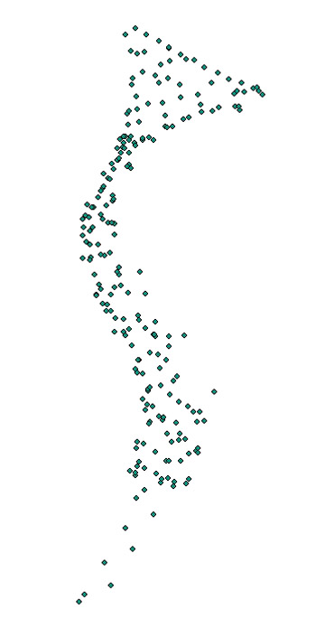
08016_chirp_500sht: Image of Chip shot-point navigation as stored within ArcMap™ 9.2 map document.
Image displaying Chirp shot-point navigation collected within the St. Clair River
Skip USGS links group

Accessibility FOIA Privacy Policies and Notices

Take Pride in America logo USAGov logo U.S. Department of the Interior | U.S. Geological Survey
End of USGS links group