U.S. Geological Survey Open-File Report 2010-1035
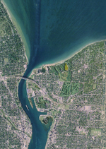
Geophysical Data Collected from the St. Clair River between Michigan and Ontario, Canada (2008-016-FA)
|
Projection Information: Metadata Download
This report is available on DVD–ROM upon request. An ArcMap 9.2 map document (of2010–1035.mxd) containing the geospatial data presented below is provided on the DVD–ROM. |
Bathymetry (gis_catalog/bathymetry)
| Filename | Metadata |
Image | Download |
|---|---|---|---|
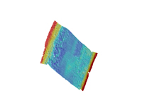
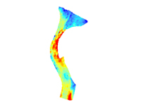
bathy_05m ESRI Grid (UTM, Zone 17N, WGS84) |
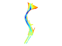 |
bathy_05m.zip 44.6 MB |
|
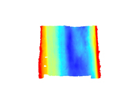
bathy_csr.tif GeoTIFF Image (UTM, Zone 17N, WGS84) |
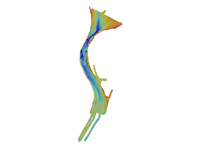 |
bathy_csr.zip 1.2 MB |
|
con_5m ESRI vector shapefile (Geographic Coordinate System, WGS84) |
 |
bathy_2m.zip 328 MB |
|
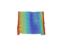
mville_05m ESRI Grid (UTM, Zone 17N, WGS84) |
 |
mville_05m.zip 4 MB |
|
mville_csr.tif GeoTIFF Image (UTM, Zone 17N, WGS84) |
 |
mville_csr.zip 3.2 MB |
|
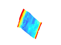
portl_05m ESRI Grid (UTM, Zone 17N, WGS84) |
 |
portl_05m.zip 3.7 MB |
|
porl_csr.tif GeoTIFF Image (UTM, Zone 17N, WGS84) |
 |
portl_csr.zip 4.4 MB |
|
svp.shp ESRI Vector Shapefile (Geographic Coordinate System, WGS84) |
 |
svp.zip 40 KB |
|
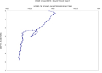
Sound Velocity Profiles JPG Images Plots of sound velocity profiles |
 |
cast.zip 1.8 MB |
Geology (gis_catalog/geology)
| Filename | Metadata |
Image | Download |
|---|---|---|---|
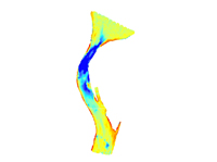
dsuelev ESRI GRID (UTM, Zone 17N, WGS84) |
 |
dsuelev.zip 72 KB |
|
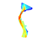
QdU ESRI GRID (UTM, Zone 17N, WGS84) |
 |
qdu.zip 396 KB |
|
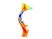
qthick ESRI GRID (UTM, Zone 17N, WGS84) |
 |
qthick.zip 76 KB |
|
Qu ESRI GRID (UTM, Zone 17N, WGS84) |
 |
qu.zip 88 KB |
|
surficial_geology.shp ESRI Vector Shapefile (Geographic Coordinate System, WGS84) |
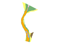 |
surf_geol.zip 72 KB |
Mosaic (gis_catalog/mosaic)
| Filename | Metadata |
Image | Download |
|---|---|---|---|
mosaic_05m.tif GeoTIFF (UTM, Zone 17N, WGS84) |
 |
mosaic_05m.zip 11.3 MB |
|
mville_05m.tif GeoTIFF (UTM, Zone 17N, WGS84) |
 |
mville_05m.zip 1 MB |
|
portl_05m.tif GeoTIFF (UTM, Zone 17N, WGS84) |
 |
portl_05m.zip 972 KB |
| Filename | Metadata |
Image | Download |
|---|---|---|---|
HYPACK Navigation ASCII Text Files (Geographic Coordinate System, WGS84) |
No Image | hypack.zip 1.2 MB |
Ortho (gis_catalog/ortho)
| Filename | Metadata |
Image | Download |
|---|---|---|---|
Orthophotographs ECW (Enhanced Compression Wavelet) Files (NAD83, GRS80) |
HTML |
 |
See Source: Remote Sensing & GIS Research and Outreach Services (RS&GIS), Michigan State University |
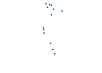
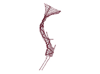
Seaboss (gis_catalog/seaboss)
| Filename | Metadata |
Image | Download |
|---|---|---|---|
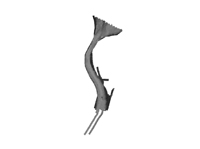
08016_photo.shp ESRI Vector Shapefile (Geographic Coordinate System, WGS84) |
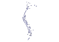 |
photo.zip 58 MB |
|
08016_photo JPG Image |
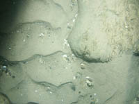 |
photo.zip 58 MB |
|
08016_sample.shp ESRI Vector Shapefile (Geographic Coordinate System, WGS84) |
 |
sample.zip 52 KB |
|
08016_video.shp ESRI Vector Shapefile (Geographic Coordinate System, WGS84) |
 |
video.zip 184 KB |
Seisimage (gis_catalog/seisimage)
| Filename | Metadata |
Image | Download |
|---|---|---|---|
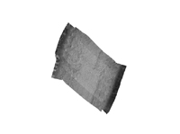
Boomer Seismic Images JPG Image |
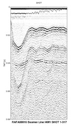 |
bm_seisimage.zip 79 MB |
|
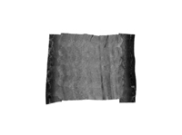
Chirp Seismic Images JPG Image |
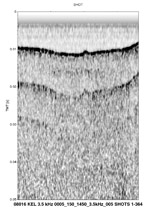 |
ch_seisimage.zip 87 MB |
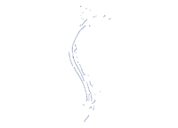
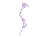
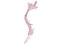
Tracklines (gis_catalog/tracklines)
| Filename | Metadata |
Image | Download |
|---|---|---|---|
08016_Boomer_sht.shp ESRI Vector Shapefile (Geographic Coordinate System, WGS84) |
 |
Boomer_sht.zip 900 KB |
|
08016_Boomer_trk.shp ESRI Vector Shapefile (Geographic Coordinate System, WGS84) |
 |
Boomer_trk.zip 284 KB |
|
08016_Chirp_100sht.shp ESRI Vector Shapefile (Geographic Coordinate System, WGS84) |
 |
Chirp_sht.zip 1 MB |
|
08016_Chirp_500sht.shp ESRI Vector Shapefile (Geographic Coordinate System, WGS84) |
 |
Chirp_sht.zip 1 MB |
|
08016_Chirp_trk.shp ESRI Vector Shapefile (Geographic Coordinate System, WGS84) |
 |
Chirp_trk.zip 332 KB |
|
08016_klein_trk.shp ESRI Vector Shapefile (Geographic Coordinate System, WGS84) |
 |
klein_trk.zip 48 KB |
|
08016_swathplus_trk.shp ESRI Vector Shapefile (Geographic Coordinate System, WGS84) |
 |
bathy_trk.zip 2.6 MB |


