Skip past header information
USGS - science for a changing world

U.S. Geological Survey Open-File Report 2010-1035

Geophysical Data Collected from the St. Clair River between Michigan and Ontario, Canada (2008-016-FA)


Skip past contents informationTitle Page / Contents / List of Figures / Conversion Factors / Abstract / Introduction / Data Acquisition and Processing / Data Catalog / Acknowledgments / References Cited


Figure 3, Photograph of the USGS R/V Rafaal tied to the dock.

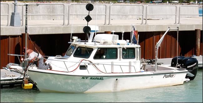
Figure 3. U.S. Geological Survey R/V Rafael with 234-kHz SWATHplus transducers mounted on the bow. (Photograph by D. Foster, U.S. Geological Survey)

Download the full size image in PDF format (6.3 MB).


To view files in PDF format, download a free copy of Adobe Reader.


Skip USGS links group

Accessibility FOIA Privacy Policies and Notices

Take Pride in America logo USAGov logo U.S. Department of the Interior | U.S. Geological Survey
End of USGS links group