U.S. Geological Survey Open-File Report 2010-1035
Geophysical Data Collected from the St. Clair River between Michigan and Ontario, Canada (2008-016-FA)
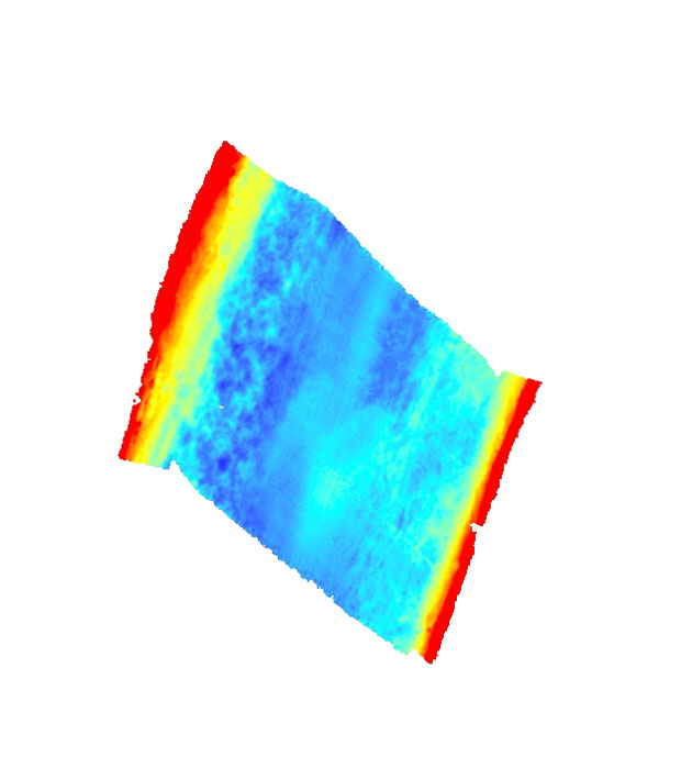
| Mville_05m: Image of bathymetry collected off of Marysville, Michigan as stored within ArcMap™ 9.2 map document. |
 |