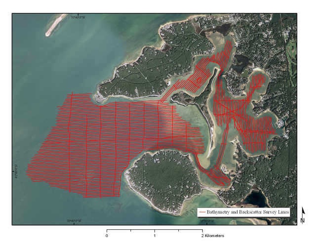
Figure 5. Map showing bathymetry and backscatter survey tracklines for the U.S. Geological Survey geophysical survey of Red Brook Harbor, Massachusetts. (Aerial photography of land areas from Environmental Systems Research Institute (2010) World Imagery ArcGIS Map Service, aerial photography of water areas from [Massachussets] Office of Geographic Information (2010).)
|
