U.S. Geological Survey Open-File Report 2010-1178
Geophysical Data from offshore of the Gulf Islands National Seashore, Cat Island to Western Horn Island, Mississippi
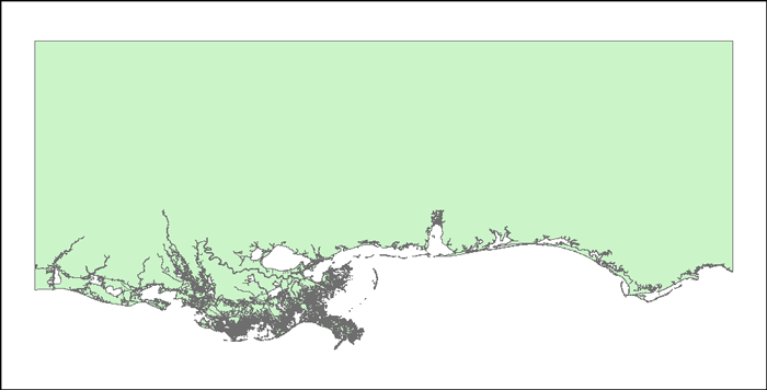
Basemap Image: Shapefile of 1998 land-water interface along the Northern Gulf of Mexico as stored within ArcMap™ 9.3 map document. The shapefile was published by National Oceanic and Atmospheric Administration (NOAA), National Ocean Service (NOS), Office of Coast Survey, and the Strategic Environmental Assessments (SEA) Division of the Office of Ocean Resources Conservation and Assessment (ORCA).
To view files in PDF format, download a free copy of Adobe Reader.


