Open-File Report 2011-1039
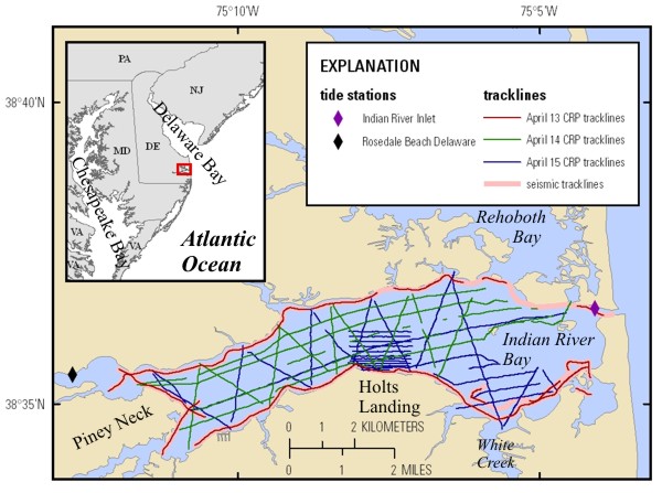 |
| Figure 1. Location map showing the continuous resistivity profiling (CRP) tracklines of the survey in Indian River Bay, Delaware, in April 2010. A subset of these lines was also surveyed using a chirp seismic system (pink lines). |

![]() U.S. Department of the Interior |
U.S. Geological Survey
U.S. Department of the Interior |
U.S. Geological Survey
URL: http://pubsdata.usgs.gov/pubs/of/2011/1039/html/figurepages/ofr2011-1039-fig1.html
Page Contact Information: GS Pubs Web Contact
Page Last Modified: Thursday, 17-Jul-2014 05:19:00 EDT
