Open-File Report 2014–1012
![]() Title |
List of Figures |
Conversion Factors |
Abstract |
Introduction |
Methods |
Bathymetry |
GIS Data Catalog |
Summary |
Acknowledgments |
References |
Contacts
|
Index
Title |
List of Figures |
Conversion Factors |
Abstract |
Introduction |
Methods |
Bathymetry |
GIS Data Catalog |
Summary |
Acknowledgments |
References |
Contacts
|
Index
 |
||
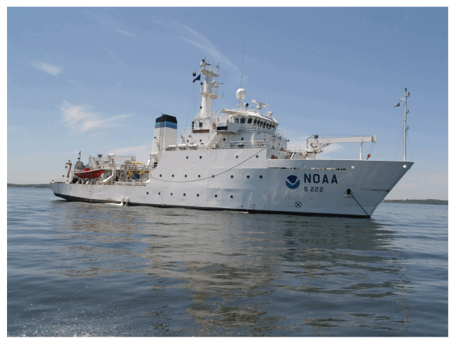
Figure 2. Starboard-side view of the National Oceanic and Atmospheric Administration (NOAA) Ship Thomas Jefferson at anchor. Photo courtesy of NOAA. |
||