Open-File Report 2014–1012
![]() Title |
List of Figures |
Conversion Factors |
Abstract |
Introduction |
Methods |
Bathymetry |
GIS Data Catalog |
Summary |
Acknowledgments |
References |
Contacts
|
Index
Title |
List of Figures |
Conversion Factors |
Abstract |
Introduction |
Methods |
Bathymetry |
GIS Data Catalog |
Summary |
Acknowledgments |
References |
Contacts
|
Index
 |
||
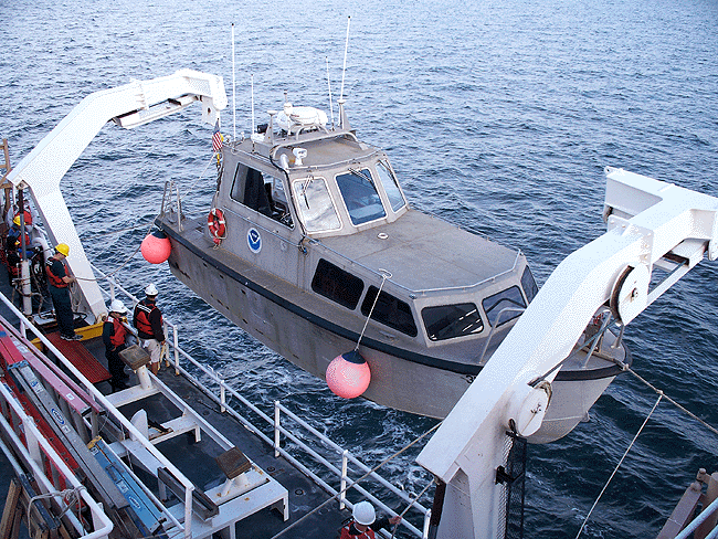
Figure 3. Launch 3102 being deployed from the National Oceanic and Atmospheric Administration Ship Thomas Jefferson. |
||

![]() U.S. Department of the Interior |
U.S. Geological Survey
U.S. Department of the Interior |
U.S. Geological Survey
URL: http://pubsdata.usgs.gov/pubs/of/2014/1012/html/fig3.html
Page Contact Information: GS Pubs Web Contact
Page Last Modified: Wednesday, 07-Dec-2016 19:33:11 EST
