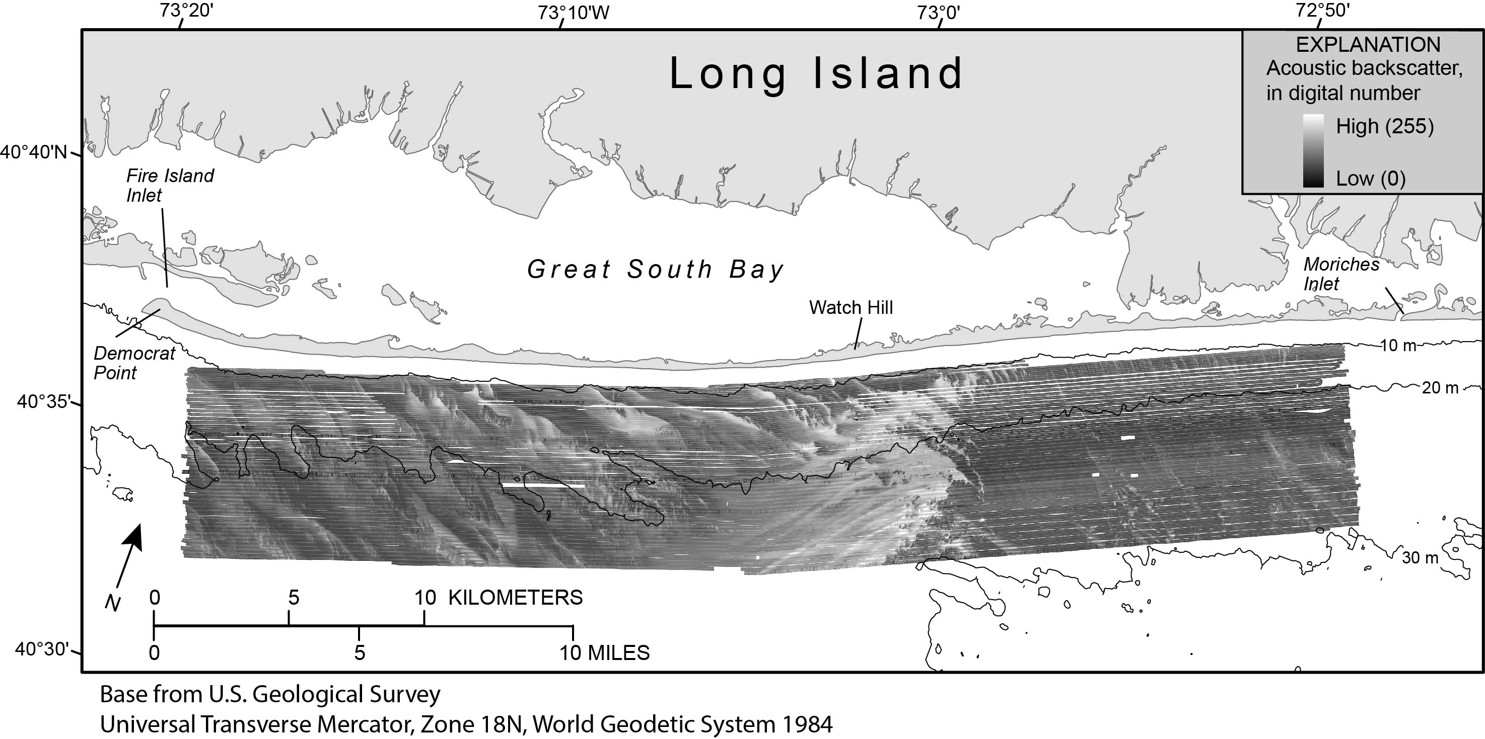
Figure 4. Map showing acoustic backscatter collected with interferometric sonar offshore of Fire Island, New York, 2011. High backscatter is displayed as light tones and low backscatter is displayed as dark tones within the backscatter image. In general, high backscatter corresponds to coarser-grained sediments, and low backscatter corresponds to finer-grained sediments. Regional bathymetric contours are in meters (m) below the North American Vertical Datum of 1988 (NAVD 88). Figure modified from Schwab and others (2013).
|
