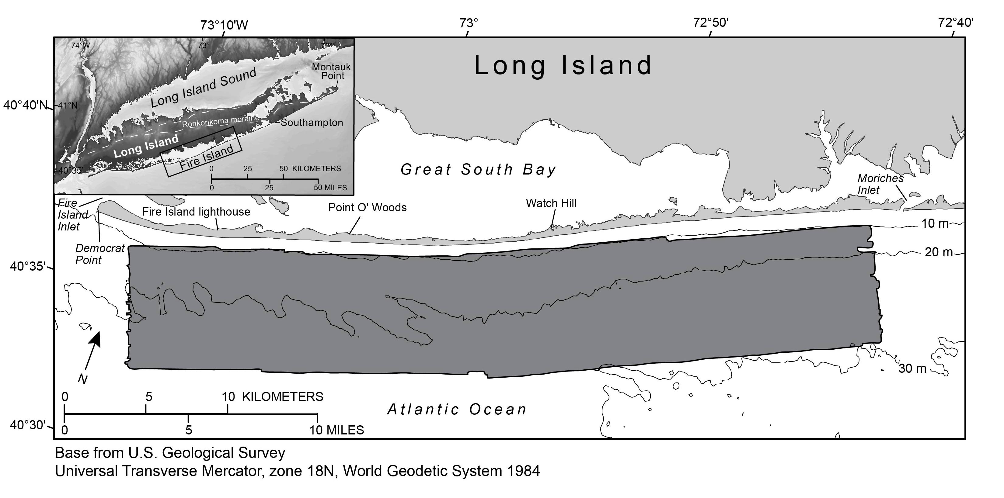
Figure 1. Map showing the survey area (shaded in dark gray) offshore of Fire Island, New York, 2011. Inset map shows location of study area (outlined in black). Bathymetric contours are in meters (m) below the North American Vertical Datum of 1988 (NAVD 88). Figure modified from Schwab and others (2013).
|
